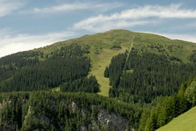
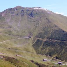
Sattelberg, Mountain summit in Stubaier Alps, Austria and Italy
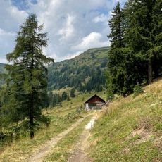
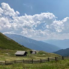
Sattelberg is a mountain summit in the Stubaier Alps that rises to 2,115 meters (6,938 feet) and marks the natural border between North Tyrol in Austria and South Tyrol in Italy. The terrain features alpine meadows and rocky sections that follow this borderline, with a mountain hut providing shelter and services partway up the slope.
The area contains remnants of military fortifications from periods of strategic border control between Austria and Italy. These traces show how the pass served as a key point for regional defense and movement through the Alps.
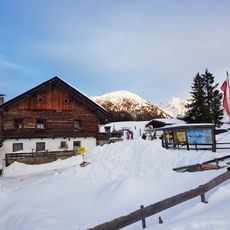
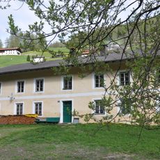
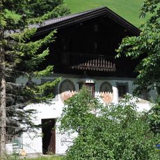
The Sattelbergalm mountain hut sits at 1,637 meters (5,370 feet) and brings together hikers from both nations who gather to share meals and stories in this borderland setting.
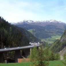
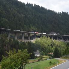
The hike starts near the Brenner Pass and follows marked trail number 1 through hairpin turns for a round trip of about 10 kilometers (6 miles). The terrain is steep in places, so sturdy footwear and basic mountain hiking experience are recommended.
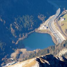
The Sattelmöser wetlands sit right at the border crossing and mark where the Isarco River begins its descent as a small mountain stream. This natural area reveals how water flows directly from the dividing line between the two countries.
The community of curious travelers
AroundUs brings together thousands of curated places, local tips, and hidden gems, enriched daily by 60,000 contributors worldwide.