Patscherkofel, Mountain summit in Tyrol, Austria.
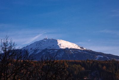
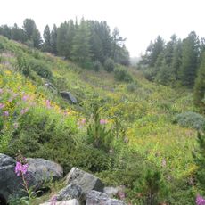
Patscherkofel is a 2,246-meter (7,369-foot) peak in the Tux Alps, positioned between the Zillertal Alps and the Inn Valley. The summit and its slopes feature walking trails and ski runs of varying difficulty, with the northern side offering gentler alpine paths.
The ski area gained international recognition when it hosted downhill racing during the Winter Olympics of 1964 and 1976. These games shaped the mountain's infrastructure and established it as a major winter sports destination.
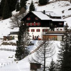
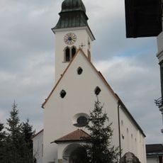
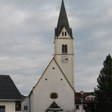
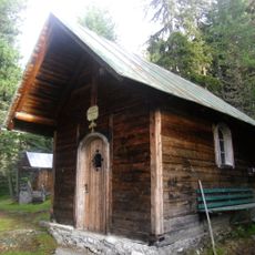
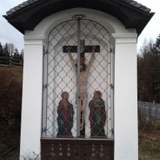
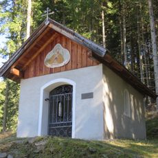
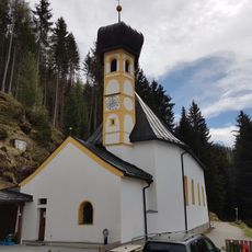
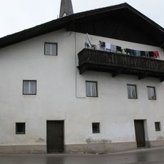
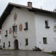
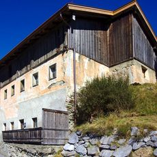
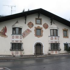
The northern slopes feature trails that connect alpine huts serving traditional Tyrolean dishes, showing how mountain communities have used this landscape for centuries. Visitors walking these paths encounter the daily rhythm of alpine farming and pastoralist traditions still present today.
A modern cable car runs year-round from the base to the summit with connections to public transit from Innsbruck. Visitors doing any activity here should start early, as upper elevations become windy in afternoons and morning light offers clearer views.
Three distinct children's ski areas sit at different elevations, allowing families to choose terrain matching their level of experience. One run stretches about 6 kilometers downhill from the summit all the way to the base station, offering an extended descent in a single route.
The community of curious travelers
AroundUs brings together thousands of curated places, local tips, and hidden gems, enriched daily by 60,000 contributors worldwide.