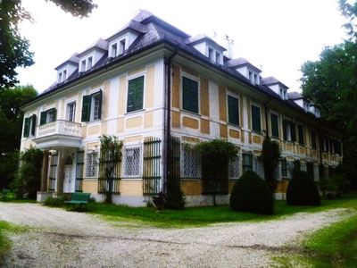
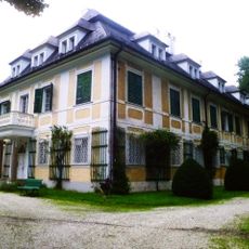
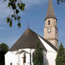
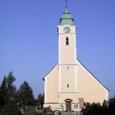
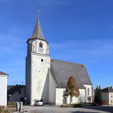
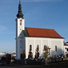
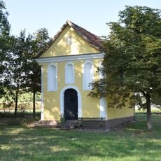
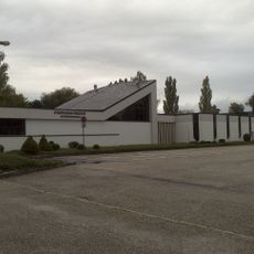
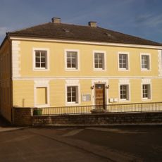
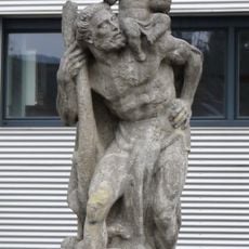
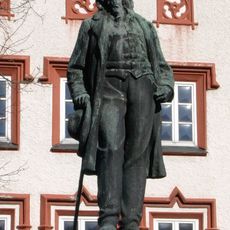
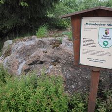
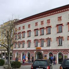
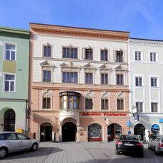
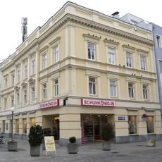
Mehrnbach, municipality in Ried im Innkreis District, Upper Austria, Austria
Location: Ried District
Elevation above the sea: 443 m
Shares border with: Wippenham, Eitzing, Aurolzmünster, Ried im Innkreis, Neuhofen im Innkreis, Lohnsburg, Mettmach, Kirchheim im Innkreis
Email: gemeinde@mehrnbach.ooe.gv.at
Website: http://mehrnbach.at
GPS coordinates: 48.20889,13.43639
Latest update: March 6, 2025 17:52
Schloss Riegerting
4.1 km
Christ Church (Ried im Innkreis)
3.8 km
Pfarrkirche hl. Martin, Mehrnbach
152 m
Parish church Riedberg
2.7 km
Pfarrkirche Mariä Himmelfahrt, Eitzing
3.5 km
Holy Name of Mary Church
4.3 km
Saint Nicholas Church (Neuhofen im Innkreis)
3.6 km
Stadtfriedhof Ried im Innkreis
3.4 km
Kapelle in Maria Aich
3.4 km
Friedhof der Stadt Ried, Arkadenreihen mit Grüften
3.4 km
Schweiklbauerkapelle
2.5 km
Alte Stadtapotheke zum schwarzen Adler
3.8 km
Pfarrhof, Kindergarten
3.6 km
Figur hl. Christophorus
3.8 km
Telecommunications Museum Ried
3.7 km
Stelzhamerdenkmal
3.8 km
Bürgerhaus, Zinngießhaus
3.7 km
Kriegerdenkmal
186 m
War memorial
3.5 km
Redemptoristinnenkloster St. Anna und Kirche
3.4 km
Mehrnbacher Vierziger
1.2 km
Bürgerhaus
3.8 km
Pfarrhof
4.3 km
Bürgerhaus
3.8 km
Wohn- und Geschäftshaus Brader
3.8 km
Wohn- und Geschäftshaus, ehem. Braugasthof
3.8 km
Bürgerhaus, Kögl-Haus
3.8 km
Bürgerhaus
3.8 kmReviews
Visited this place? Tap the stars to rate it and share your experience / photos with the community! Try now! You can cancel it anytime.
Discover hidden gems everywhere you go!
From secret cafés to breathtaking viewpoints, skip the crowded tourist spots and find places that match your style. Our app makes it easy with voice search, smart filtering, route optimization, and insider tips from travelers worldwide. Download now for the complete mobile experience.
A unique approach to discovering new places❞
— Le Figaro
All the places worth exploring❞
— France Info
A tailor-made excursion in just a few clicks❞
— 20 Minutes