
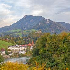
Großraming, municipality in Steyr-Land District, Upper Austria, Austria
Location: Steyr-Land District
Elevation above the sea: 446 m
Shares border with: Sankt Ulrich bei Steyr, Maria Neustift, Gaflenz, Weyer, Reichraming, Laussa
Email: gemeinde@grossraming.ooe.gv.at
Website: http://grossraming.at
GPS coordinates: 47.88778,14.55028
Latest update: March 3, 2025 05:47

Schieferstein
5.6 km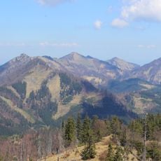
Almkogel
7 km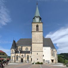
Maria Neustift Pfarrkirche
7 km
Spadenberg
7.7 km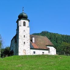
Branch church in Brunnbach near Großraming
7.6 km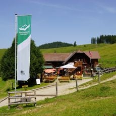
Anlaufalm
12.8 km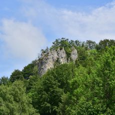
Sauzahn
7.9 km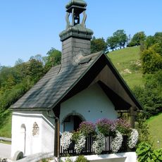
Pechgraben-Kapelle, Sengstschmied-Kapelle
5 km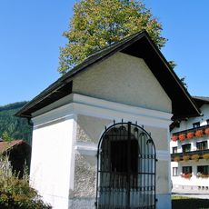
Wegkapelle
296 m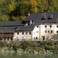
Taverne am Kasten, Ennsmuseum Kastenreith
7.9 km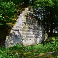
Naturdenkmal Oberösterreich ND100 Leopold von Buch-Denkmal
3.5 km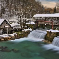
Katzensteiner Mühle Weyer
8.1 km
Granitfelsengruppe Leopold von Buch Denkmal
3.5 km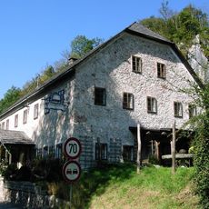
Wohnhaus, ehem. Taverne unterm Stein
3.6 km
Buchdruckmuseum Weyer
8.5 km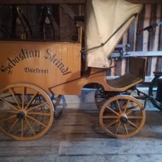
Kutschenmuseum Gruber
991 m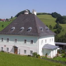
Pfarrhof
6.9 km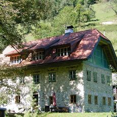
Wohnhaus
3.7 km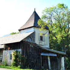
Sog. Protestantenturm
10 km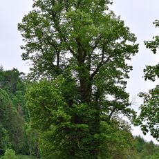
Balgsetzerlinde
8.5 km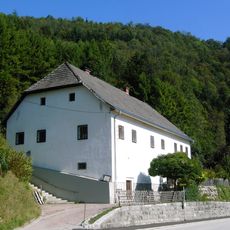
Ehem. Taverne Gasteigertaverne, ehem. Gasthaus Steinwirt
1 km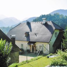
Forsthaus Höritzau
901 m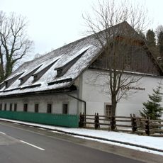
Wohnhaus, Balgsetzerhaus
8.5 km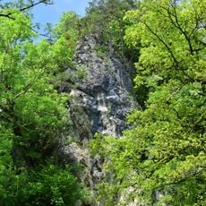
Prücklerstein
7.6 km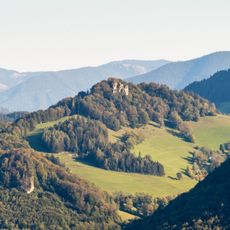
Sauzähne in Laussa
7.9 km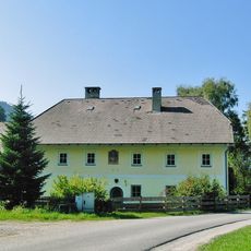
Ehem. Forsthaus
1.1 km
Linde in Kastenreith
7.8 km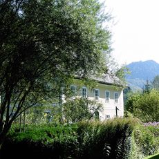
Wohnhaus, ehem. Forsthaus im Kohlschlag
9.2 kmReviews
Visited this place? Tap the stars to rate it and share your experience / photos with the community! Try now! You can cancel it anytime.
Discover hidden gems everywhere you go!
From secret cafés to breathtaking viewpoints, skip the crowded tourist spots and find places that match your style. Our app makes it easy with voice search, smart filtering, route optimization, and insider tips from travelers worldwide. Download now for the complete mobile experience.

A unique approach to discovering new places❞
— Le Figaro
All the places worth exploring❞
— France Info
A tailor-made excursion in just a few clicks❞
— 20 Minutes