
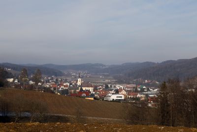
Sankt Stefan im Rosental
Sankt Stefan im Rosental, municipality in Südoststeiermark District, Styria, Austria
Location: Südoststeiermark District
Elevation above the sea: 330 m
Shares border with: Kirchberg an der Raab
Email: gemeinde@st.stefan.at
Website: http://st.stefan.at
GPS coordinates: 46.90234,15.71178
Latest update: March 8, 2025 12:49
Andreaskirche, Jagerberg
5.6 km
Veitskirche
7.7 km
Kapelle Manning
6.3 km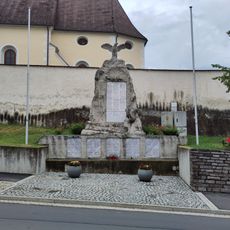
Kriegerdenkmal St. Stefan im Rosental
216 m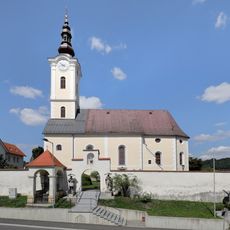
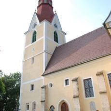
Catholic parish church St. Stephen
246 m
Kath. Filialkirche hl. Anna, Kirchbach in Steiermark
4.8 km
Pfarrkirche Kirchbach in Steiermark
5 km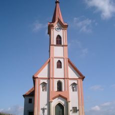
Kapelle Hl. Dreifaltigkeit, Glojach
3.4 km
Marienkapelle Zerlach
6.6 km
Obergnas, Ortskapelle
6.4 km
Messkapelle
4.2 km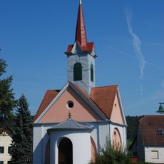
Ortskapelle Glatzau
3.3 km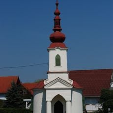
Ortskapelle Mariahilf, Dörfla
5 km
Kapelle
5.6 km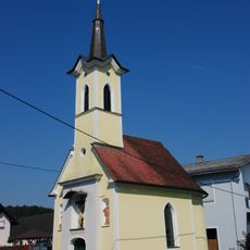
Ortskapelle
5.9 km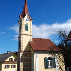
Kapelle Wetzelsdorf
3.7 km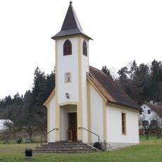
Fastlkapelle
6.5 km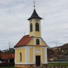
Ortskapelle
6.6 km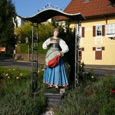
Figurenbildstock hl. Notburga
400 m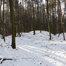
Barrow cemetery Ungerdorfer Wald
4 km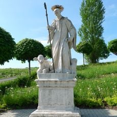
Figurenbildstock hl. Leonhard
39 m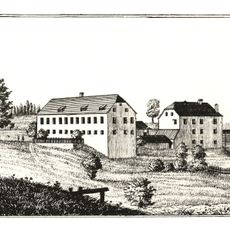
Waldegg castle
3.7 km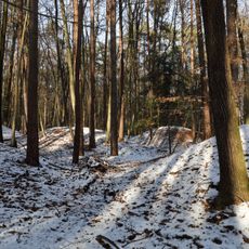
Barrow cemetery Mitterbachwald
3 km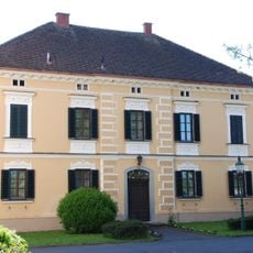
Pfarrhof
7.7 km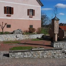
Kriegerdenkmal Jagerberg
5.7 km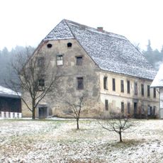
Grieshof
5 km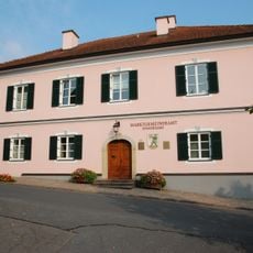
Rathaus, Paulhaus
5.7 km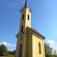
Nieslkapelle
6.1 kmReviews
Visited this place? Tap the stars to rate it and share your experience / photos with the community! Try now! You can cancel it anytime.
Discover hidden gems everywhere you go!
From secret cafés to breathtaking viewpoints, skip the crowded tourist spots and find places that match your style. Our app makes it easy with voice search, smart filtering, route optimization, and insider tips from travelers worldwide. Download now for the complete mobile experience.

A unique approach to discovering new places❞
— Le Figaro
All the places worth exploring❞
— France Info
A tailor-made excursion in just a few clicks❞
— 20 Minutes