
Sankt Willibald, municipality in Schärding District, Upper Austria, Austria
Location: Schärding District
Elevation above the sea: 455 m
Shares border with: Enzenkirchen, Natternbach, Peuerbach, Altschwendt, Raab
Email: gemeinde@sankt-willibald.at
Website: http://sankt-willibald.at
GPS coordinates: 48.36667,13.68333
Latest update: March 11, 2025 16:47
Pfarrkirche hl. Maximilian, Altschwendt
4.8 km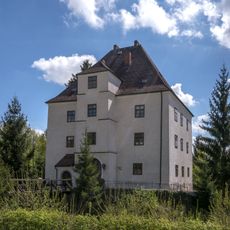
Schloss Raab
3.1 km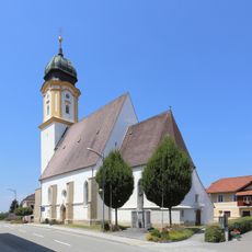
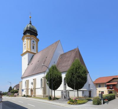
Willibald of Eichstätt Church
630 m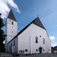
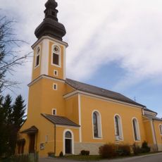
Pfarrkirche hl. Michael, Raab
3.2 km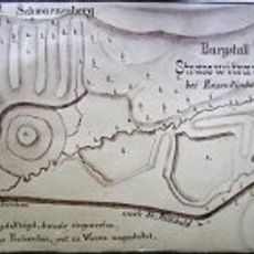
Burgstall Straßwitraun
2.5 km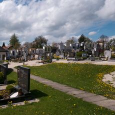
Friedhof christlich mit Priestergrab
3.2 km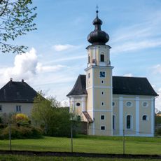
Wallfahrtskirche Maria Bründl, Raab
2.8 km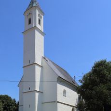
Kath. Filialkirche, hl. Jakob
2.2 km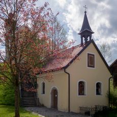
Bründlkapelle
2.8 km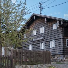
Heimathaus Raab
3.1 km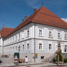
Bräustüberlmuseum
3.1 km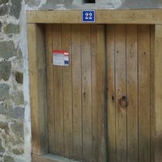
Bier-Sandkellermuseum
3.1 km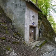
Bier-Sandkellermuseum
3.1 km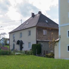
Benefiziatenhaus, Raab
2.8 km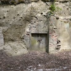
Erdkeller 18
3.2 km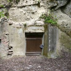
Erdkeller 19
3.2 km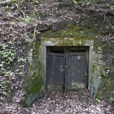
Erdkeller 10
3.1 km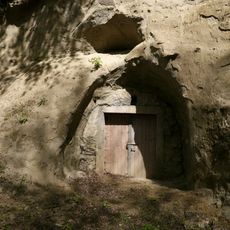
Erdkeller 14, 15
3.2 km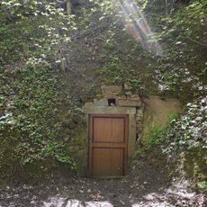
Erdkeller 12, 13
3.1 km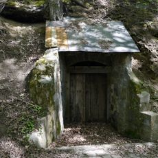
Erdkeller 24, 25
3.2 km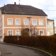
Pfarrhof Altschwendt
4.8 km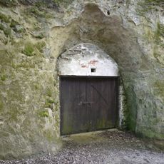
Erdkeller 8
3.2 km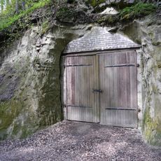
Erdkeller 20
3.2 km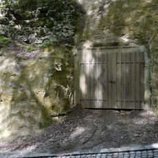
Erdkeller 21
3.1 km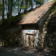
Erdkeller 22
3.2 km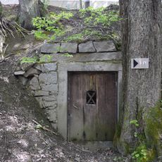
Erdkeller 23
3.2 km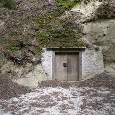
Erdkeller 16, 17
3.2 km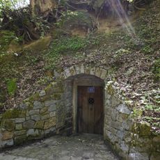
Erdkeller 11
3.1 kmReviews
Visited this place? Tap the stars to rate it and share your experience / photos with the community! Try now! You can cancel it anytime.
Discover hidden gems everywhere you go!
From secret cafés to breathtaking viewpoints, skip the crowded tourist spots and find places that match your style. Our app makes it easy with voice search, smart filtering, route optimization, and insider tips from travelers worldwide. Download now for the complete mobile experience.

A unique approach to discovering new places❞
— Le Figaro
All the places worth exploring❞
— France Info
A tailor-made excursion in just a few clicks❞
— 20 Minutes