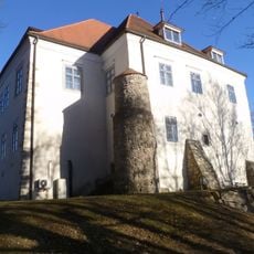
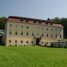
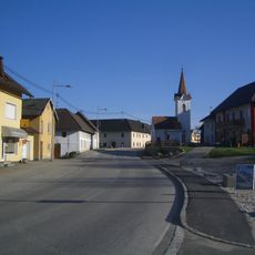
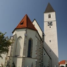
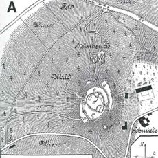
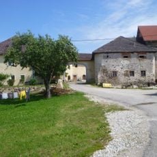
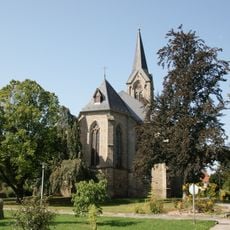
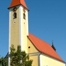
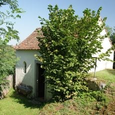
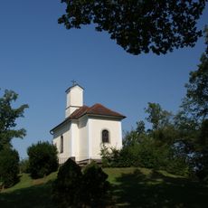
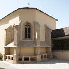
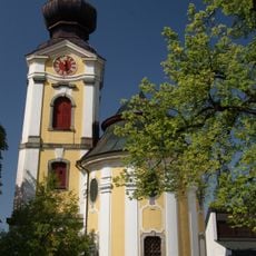
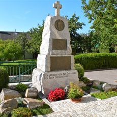
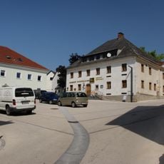
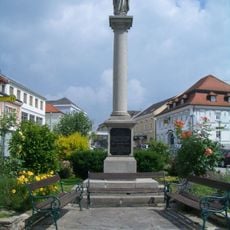
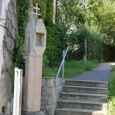
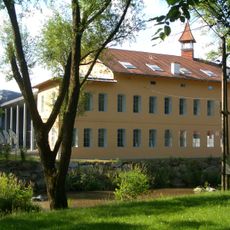
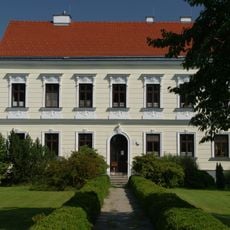
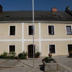
Wartberg ob der Aist, municipality in Freistadt District, Upper Austria, Austria
Location: Freistadt District
Elevation above the sea: 477 m
Shares border with: Unterweitersdorf, Hagenberg im Mühlkreis, Pregarten, Ried in der Riedmark, Katsdorf, Engerwitzdorf
Email: marktgemeindeamt@wartberg-aist.ooe.gv.at
Website: http://wartberg-aist.at
GPS coordinates: 48.34722,14.50833
Latest update: March 3, 2025 08:41
Schloss Hagenberg im Mühlkreis
2.2 km
Softwarepark Hagenberg
2.5 km
Schloss Haus
439 m
Dorfkapelle Unterweitersdorf
3.7 km
Burg Neuaist
2.2 km
Pfarrkirche Mariä Himmelfahrt
381 m
Burg Altaist
3.8 km
Breitenbruck Castle
3.3 km
Saint Anne Church
2 km
Parish church in Katsdorf
4.1 km
Schloss Bodendorf
3 km
Karden- und Heimatmuseum Katsdorf
4.1 km
Kalvarienbergkapelle
422 m
Wenzelskirche
590 m
Hl.-Grabkapelle
2.1 km
Kalvarienbergkapelle
2.1 km
Chapel of St. Michael in Wartberg ob der Aist
378 m
Pestsäule Katsdorf
3.9 km
Schlosskapelle Hagenberg
2.2 km
Kriegerdenkmal
4.1 km
Große Hagenberger Taferne, Gasthaus Stegfellner
401 m
Öffentliche Bibliothek der Pfarre Katsdorf
4.1 km
Figurenbildstock
1.9 km
Bildstock
2 km
Bürgerhaus, Bankgebäude
1.9 km
Bruckmühle
1.7 km
Pfarrhof
2.1 km
Pfarrhof
2.2 kmReviews
Visited this place? Tap the stars to rate it and share your experience / photos with the community! Try now! You can cancel it anytime.
Discover hidden gems everywhere you go!
From secret cafés to breathtaking viewpoints, skip the crowded tourist spots and find places that match your style. Our app makes it easy with voice search, smart filtering, route optimization, and insider tips from travelers worldwide. Download now for the complete mobile experience.
A unique approach to discovering new places❞
— Le Figaro
All the places worth exploring❞
— France Info
A tailor-made excursion in just a few clicks❞
— 20 Minutes