Freistadt District, Administrative district in Upper Austria, Austria.
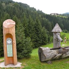
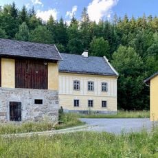
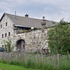
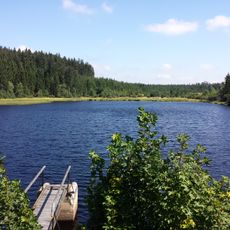
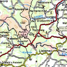
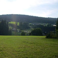
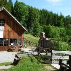
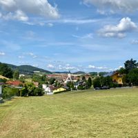
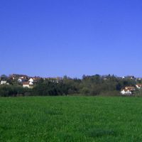
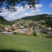
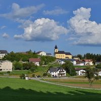
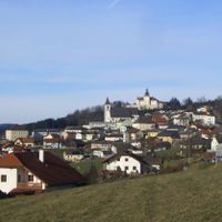
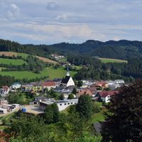
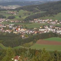
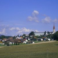
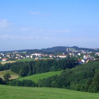
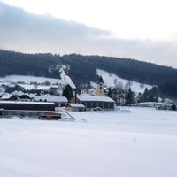
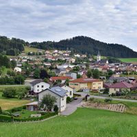
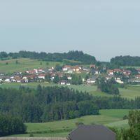
Freistadt District is an administrative area in northern Upper Austria spanning 27 municipalities and market towns. The district combines rural countryside with historic town centers, where forests and farmland surround the settlements.
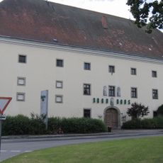
The area was reorganized administratively following the upheavals of 1848 in the Austrian Empire, with the town of Freistadt designated as its administrative seat. This reorganization established the basic structure that has remained in place since then.
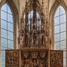
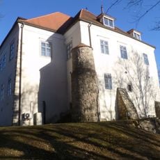
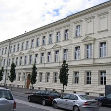
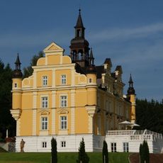
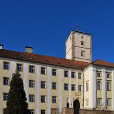
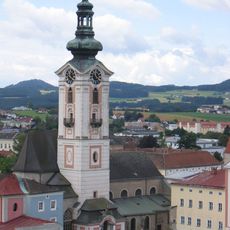
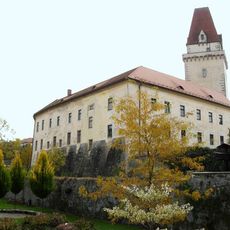
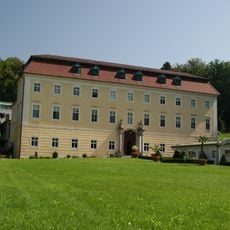
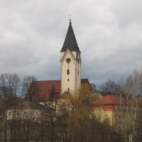
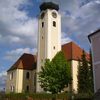
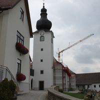
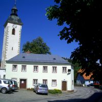
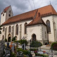
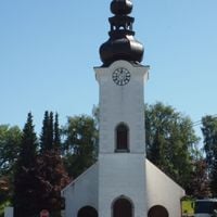
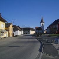
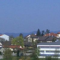
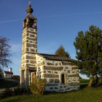
The district contains several towns that preserve the character of traditional Austrian market communities, with central squares, civic buildings, and churches that shape daily life. These places serve as centers where local traditions remain visible in how people gather, celebrate, and maintain their built environment.
The area is best explored by driving between the various town centers, as these settlements are spread across the district. It helps to navigate the network of secondary roads connecting the communities and allow time to walk through each market town on foot.
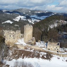
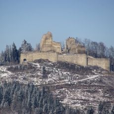
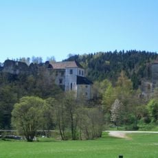
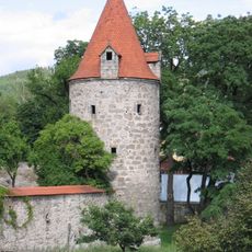
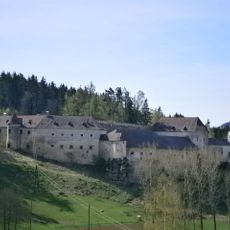
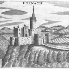
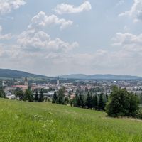
The main town of Freistadt retains well-preserved fortification walls and town gates from the 14th century that strongly define its character. These medieval structures make it a rare example of an almost completely enclosed town in Austria.
The community of curious travelers
AroundUs brings together thousands of curated places, local tips, and hidden gems, enriched daily by 60,000 contributors worldwide.