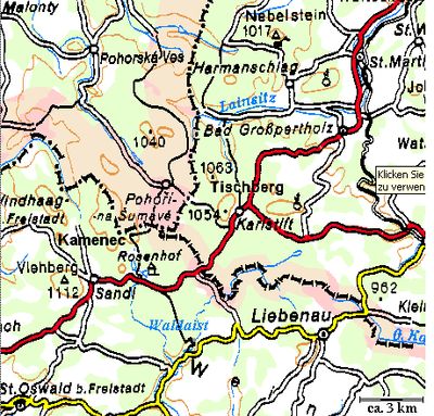
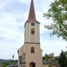
Tischberg, Mountain summit in Waldviertel, Austria.
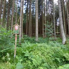
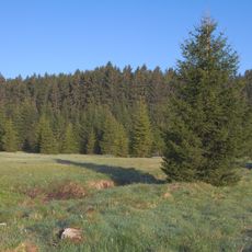
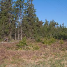
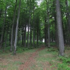
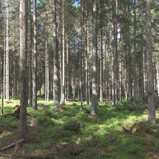
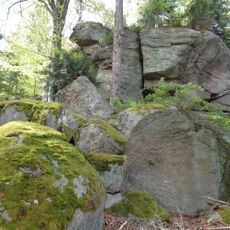
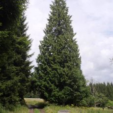
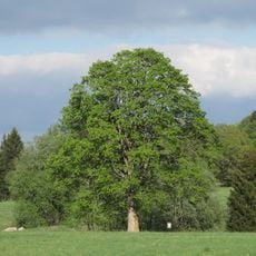
Tischberg is a mountain summit in the Waldviertel region that reaches about 1063 meters and stands as the highest point in the Gmünd district. From the top, views extend across the surrounding landscape of forests and fields that spread in all directions.
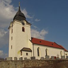
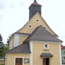
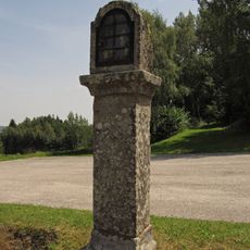
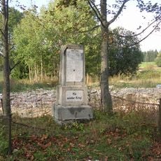
The mountain served as a natural border between communities in the Waldviertel region across generations. Its role as a landmark and boundary marker shaped how local people understood their territories and relationships with neighboring areas.
The summit serves as a meeting place where locals and visitors gather to share the expansive views across the landscape. It functions as a natural gathering spot where people come together to experience the heights and observe the surrounding terrain.
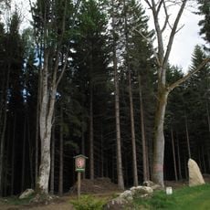
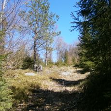
Several marked hiking routes reach the summit from the town of Karlstift and are suitable for various fitness levels. The paths vary in length and difficulty, so different hikers can find a route that works for them.
From the summit, visitors can see both Austrian and Czech territory on clear days because the mountain sits right at the border. This natural vantage point allows people to observe two countries at the same time.
Location: Lower Austria
Elevation above the sea: 1,063 m
GPS coordinates: 48.60795,14.73175
Latest update: December 12, 2025 12:02
Pivonické skály
7.1 km
Schloss Rosenhof
7.5 km
Church of Our Lady of Good Counsel
2.6 km
Pfarrkirche hl. Bartholomäus Bad Großpertholz
7.1 km
Prameniště Pohořského potoka
3.4 km
Stodůlecký vrch
3.3 km
Pohořské rašeliniště
4 km
Pfarrkirche hl. Wenzel, Harmanschlag
6.4 km
Pfarrkirche Karlstift
2.3 km
Myslivna
4.8 km
U tří můstků
4.1 km
Stříbrný vrch
5.6 km
Warzenstein
5 km
Figurenbildstock hl. Johannes Nepomuk
7.6 km
Bucherser Gedenkkapelle
1.7 km
Schloss Großpertholz
7.4 km
Boží muka u čp. 13 v Pohoří na Šumavě
2.3 km
Zerav obrovský
4.3 km
Ehem. Glashütte am Bauernberg
6.6 km
Pohořský klen
3.4 km
Figurenbildstock hl. Florian, Harmanschlag
6.4 km
Figurenbildstock hl. Florian
7.1 km
Pest- und Dreifaltigkeitssäule Bad Großpertholz
7.2 km
Bildstock
6.2 km
Pfarrhof Harmanschlag
6.4 km
Inleuthäusl vom Berghaus Nr.3
5 km
Cross near Bucherser Gedenkkapelle
1.6 km
World War I memorial in Pohoří na Šumavě
2.6 kmVisited this place? Tap the stars to rate it and share your experience / photos with the community! Try now! You can cancel it anytime.
Discover hidden gems everywhere you go!
From secret cafés to breathtaking viewpoints, skip the crowded tourist spots and find places that match your style. Our app makes it easy with voice search, smart filtering, route optimization, and insider tips from travelers worldwide. Download now for the complete mobile experience.
A unique approach to discovering new places❞
— Le Figaro
All the places worth exploring❞
— France Info
A tailor-made excursion in just a few clicks❞
— 20 Minutes