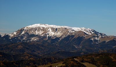
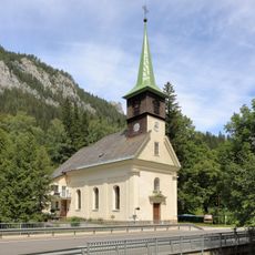
Hohe Veitsch, Mountain summit in Styria, Austria
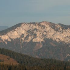
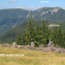
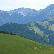
Hohe Veitsch is a limestone summit in Styria with its main peak at approximately 1,980 meters and a wide plateau extending beneath it. The mountain features multiple routes and pathways across its slopes, providing options for visitors with different levels of hiking experience.
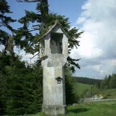
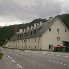
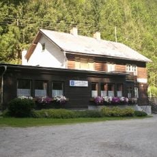
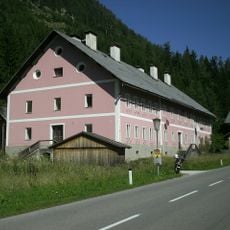
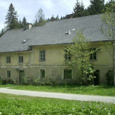
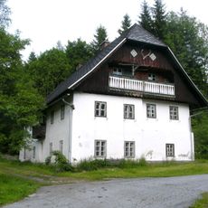
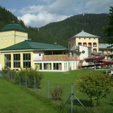
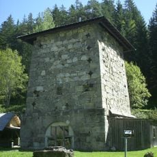
The mountain became a climbing destination in the 1800s as new hiking paths were developed in the region. A shelter house was built on its slopes by Austrian mountaineering organizations to support travelers crossing the alpine terrain.
This limestone peak has long drawn hikers and climbers who value the open views and connection to the alpine landscape. The trails crossing the plateau remain popular routes for people seeking mountain experiences in this part of Austria.
Multiple trails lead to the summit, some taking around two to three hours depending on the route chosen. Visitors should allow extra time and check weather conditions before setting out, as mountain weather can change quickly at this elevation.
The mountain sits at the junction of several major hiking networks that link different regions of Austria. This central location makes it an important crossing point for people planning longer mountain journeys across the country.
The community of curious travelers
AroundUs brings together thousands of curated places, local tips, and hidden gems, enriched daily by 60,000 contributors worldwide.