
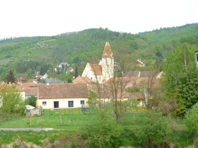
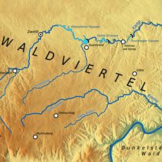
Schönberg am Kamp, municipality in Krems District, Lower Austria, Austria
Location: Krems(Land) District
Elevation above the sea: 226 m
Shares border with: Gars am Kamp, Burgschleinitz-Kühnring, Maissau, Hohenwarth-Mühlbach am Manhartsberg, Straß im Straßertale, Langenlois, Sankt Leonhard am Hornerwald
Email: gemeinde@schoenberg.gv.at
Website: http://schoenberg.gv.at
GPS coordinates: 48.51667,15.70000
Latest update: March 12, 2025 00:26
Manhartsberg
4.7 km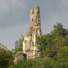
Burgruine Falkenberg
3.2 km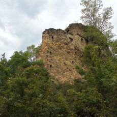
Burgruine Schonenburg
369 m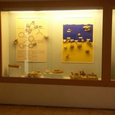
Fossilienschauraum Obernholz
3.3 km
Hausberg Zorimauer
5.5 km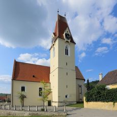
Pfarrkirche Schönberg am Kamp
249 m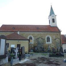
Filialkirche Elsarn im Straßertale
3.9 km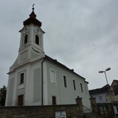
Pfarrkirche Freischling
6 km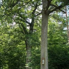
Silberne Eiche, Schönberg am Kamp
4.5 km
Mühlsteinbruch Altenhof
3.3 km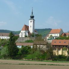
Pfarrkirche Stiefern
2.1 km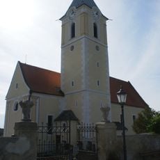
Pfarrkirche hl. Pankraz, Schiltern
5.5 km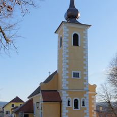
Kath. Filialkirche hll. Philipp und Jakob
6.8 km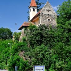
Chapel Oberplank
4.9 km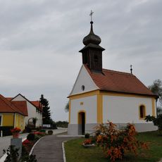
Ortskapelle
2.6 km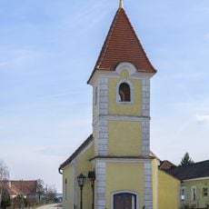
Ortskapelle
4.1 km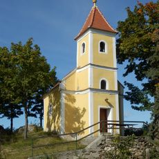
Chapel in Buchberger Waldhütten
6.1 km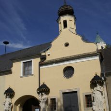
Pestkapelle Unbefleckte Empfängnis
5.5 km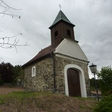
Ortskapelle
3.4 km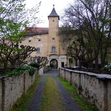
Schloss Buchberg
7.4 km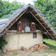
Freilichtmuseum Elsarn
4 km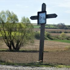
Holzkreuz bei Freischling
6.4 km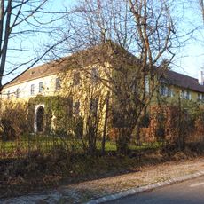
Schloss Wiedendorf
5 km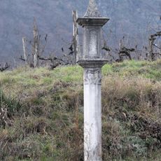
Kreuz im Renner
1.2 km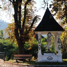
Wayside shrine st. John of Nepomuk
259 m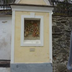
Stations of the Cross and calvary hill in Stiefern
2.1 km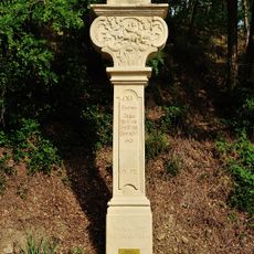
Stations of the Cross and calvary hill Schönberg am Kamp
1.2 km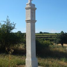
Bildstock im Renner
1.7 kmVisited this place? Tap the stars to rate it and share your experience / photos with the community! Try now! You can cancel it anytime.
Discover hidden gems everywhere you go!
From secret cafés to breathtaking viewpoints, skip the crowded tourist spots and find places that match your style. Our app makes it easy with voice search, smart filtering, route optimization, and insider tips from travelers worldwide. Download now for the complete mobile experience.

A unique approach to discovering new places❞
— Le Figaro
All the places worth exploring❞
— France Info
A tailor-made excursion in just a few clicks❞
— 20 Minutes