
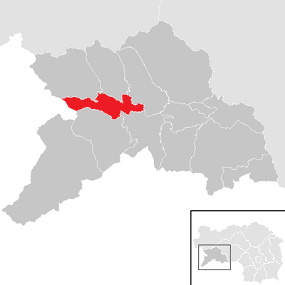
Ranten, municipality in Murau District, Styria, Austria
Location: Murau District
Elevation above the sea: 951 m
Email: gde@ranten.gv.at
Website: http://ranten.steiermark.at
GPS coordinates: 47.15972,14.08111
Latest update: March 7, 2025 01:25
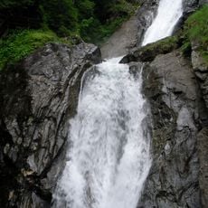
Günstner Wasserfall
3.3 km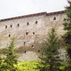
Burgruine Klauseck
9 km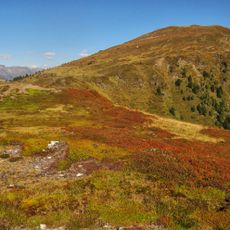
Gstoder
7 km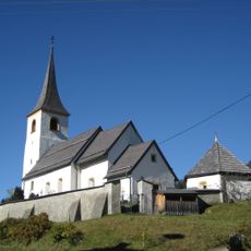
Pfarrkirche Seetal
9.8 km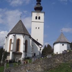
Pfarrkirche hl. Bartholomäus, Ranten
119 m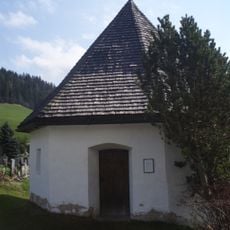
Friedhof Ranten
136 m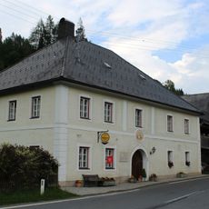
Gasthof zur Klause
9.3 km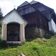
Kapelle Jocklbauer, Stolzalpe
6.8 km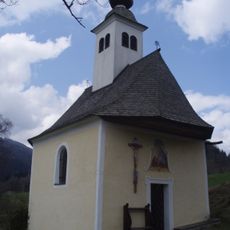
Ranten Pistrachkapelle
3.9 km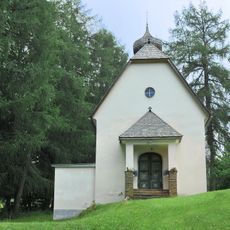
Wallfahrtskirche Maria Schutz, Rinegg
4.1 km
Ranten Kalvarienbergkapelle
762 m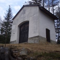
Krakaudorf Kalvarienberg und Kalvarienbergkapelle
4.8 km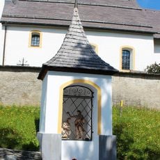
Johanneskapelle
9.8 km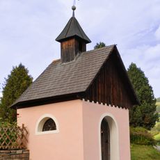
Rottenmanner Kapelle, Tratten
2.4 km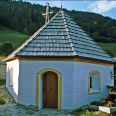
Totenkapelle Seetal
9.8 km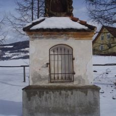
Rottenmanner-Kreuz, Tratten
2.2 km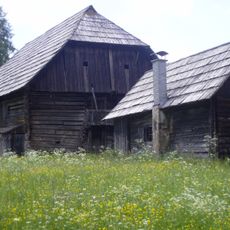
Farmhouse Haslerhube, Sankt Georgen ob Murau
3.4 km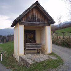
Krakaudorf Franzosenkreuz
3.9 km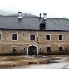
Bauernhaus Gartlerhof (Gartelhof), ehem. Amtshof des Bistums Lavant
1.3 km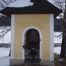
Mautner Kreuz, Ranten
2.6 km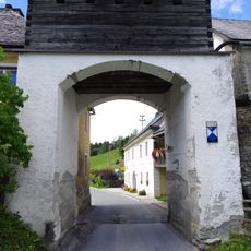
Klausentor
9.3 km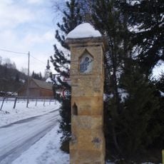
Speckenkreuz
219 m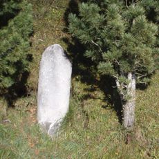
St Georgen/Kreischberg Römischer Meilenstein
4.9 km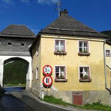
Tollhouse Seethal
9.3 km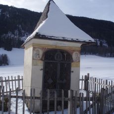
Sogen. Gartlerkreuz
1.1 km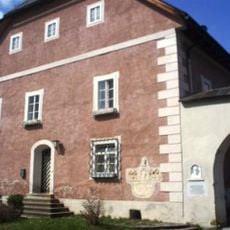
Ranten Pfarrhof
74 m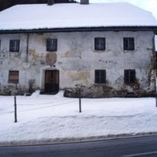
Bauernhof (Anlage), ehem. Schmiede
3.6 km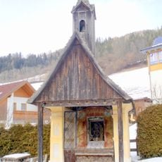
Wasserloadkreuz
508 mReviews
Visited this place? Tap the stars to rate it and share your experience / photos with the community! Try now! You can cancel it anytime.
Discover hidden gems everywhere you go!
From secret cafés to breathtaking viewpoints, skip the crowded tourist spots and find places that match your style. Our app makes it easy with voice search, smart filtering, route optimization, and insider tips from travelers worldwide. Download now for the complete mobile experience.

A unique approach to discovering new places❞
— Le Figaro
All the places worth exploring❞
— France Info
A tailor-made excursion in just a few clicks❞
— 20 Minutes