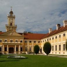
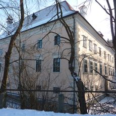
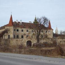
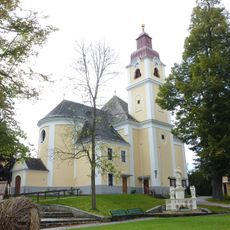
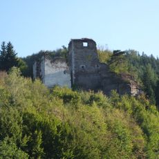
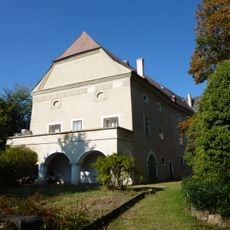
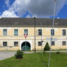
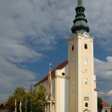
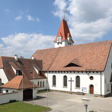
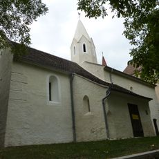
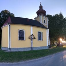
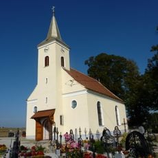
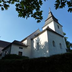
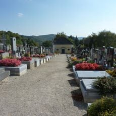
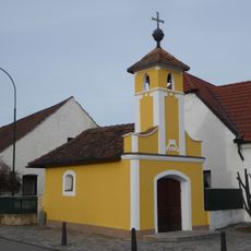
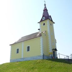
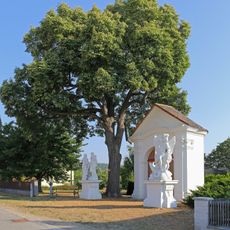
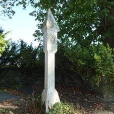
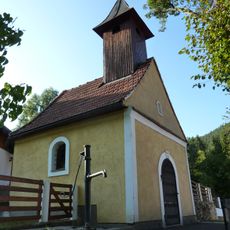
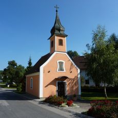
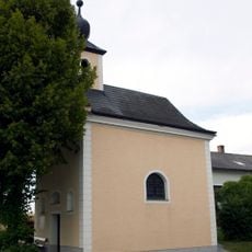
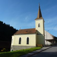
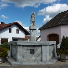
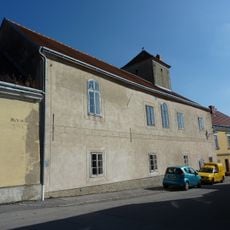
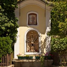
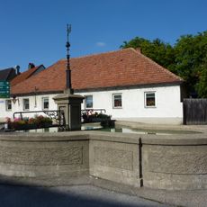
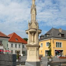
Gföhl, municipality in Krems District, Lower Austria, Austria
Location: Krems(Land) District
Elevation above the sea: 579 m
Shares border with: Rastenfeld, Jaidhof, Langenlois, Lengenfeld, Droß, Senftenberg, Weinzierl am Walde, Albrechtsberg an der Großen Krems, Lichtenau im Waldviertel
Email: gemeinde@gfoehl.gv.at
Website: http://gfoehl.at
GPS coordinates: 48.51667,15.48333
Latest update: April 6, 2025 03:50
Schloss Jaidhof
1.4 km
Schloss Brunn am Walde
5.8 km
Schloss Droß
8.8 km
Pfarrkirche Lichtenau im Waldviertel
7.2 km
Burgruine Hohenstein
6.3 km
Schloss Rastbach
4.2 km
Schloss Felling
6.7 km
Pfarrkirche Gföhl
544 m
Wallfahrtskirche Maria Fatima, Droß
8.7 km
Schlosskapelle Droß
8.8 km
Rosaliakapelle Gföhleramt
3.2 km
Holy Trinity Church (Moritzreith)
4.5 km
Pfarrkirche hl. Pankraz, Rastbach
4.1 km
Gföhl Friedhof
133 m
Ortskapelle Priel
9.8 km
Ortskapelle Seeb
3 km
Wegkapelle mit Barockfiguren hl. Michael und Hl. Familie
8.5 km
Bildstock am Friedhof
4.5 km
Ortskapelle Hohenstein
6.1 km
Ortskapelle
1.8 km
Ortskapelle Hl. Familie
2.6 km
Ortskapelle Reichau
7.2 km
Karikaturengarten
5.8 km
Brunnen mit Säule und hl. Florian
4.6 km
Altes Rathaus/ehem. Hacklhof
556 m
Figurenbildstock hl. Johannes Nepomuk
9 km
Brunnen
667 m
Brunnen
504 mReviews
Visited this place? Tap the stars to rate it and share your experience / photos with the community! Try now! You can cancel it anytime.
Discover hidden gems everywhere you go!
From secret cafés to breathtaking viewpoints, skip the crowded tourist spots and find places that match your style. Our app makes it easy with voice search, smart filtering, route optimization, and insider tips from travelers worldwide. Download now for the complete mobile experience.
A unique approach to discovering new places❞
— Le Figaro
All the places worth exploring❞
— France Info
A tailor-made excursion in just a few clicks❞
— 20 Minutes