
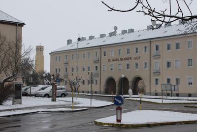
Dr.-Karl-Renner-Hof, architectural structure
Location: Wiener Neustadt
Address: Flugfeldgürtel 76–96
GPS coordinates: 47.83210,16.23380
Latest update: March 4, 2025 17:57
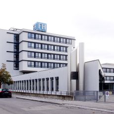
University of Applied Sciences Wiener Neustadt
1.3 km
Raxwerke
1.5 km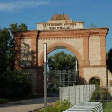
Wiener Neustädter Lokomotivfabrik
1.5 km
Spinnerin am Kreuz
1.2 km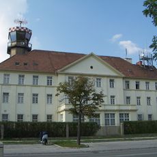
Fliegerkaserne Wiener Neustadt
271 m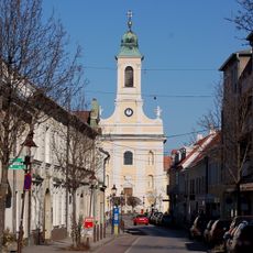
St. Leopold
1.7 km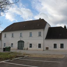
Industrieviertel-Museum
1.5 km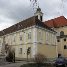
Stadtarchiv Wiener Neustadt
1.7 km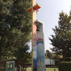
Holy Family
1.6 km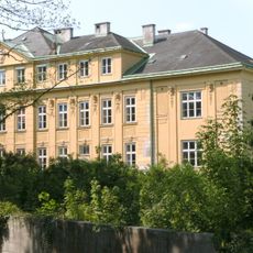
Schule Santa Christiana Wiener Neustadt
1.6 km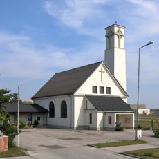
St. Anton am Flugfeld
103 m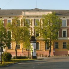
Schule am Baumkirchnerring
1.7 km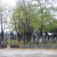
Israelitischer Friedhof Wiener Neustadt
796 m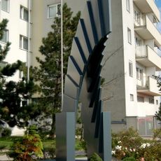
Der Aufstieg Metallplastik, Wiener Neustadt
502 m
Sowjetischer Heldenfriedhof (Wiener Neustadt)
1.1 km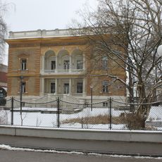
Villa Burkhard
1.6 km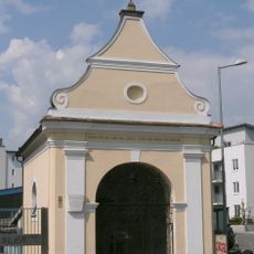
Dänkl-Kapelle
1.5 km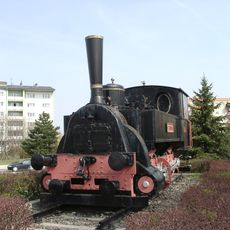
Fanny
1.5 km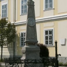
Kaiserbrunnen
1.7 km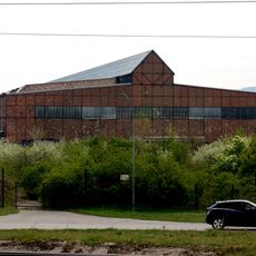
Serbenhalle, Wiener Neustadt
1.5 km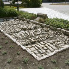
Römerstraße
1.7 km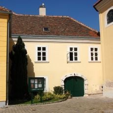
Bürgerhaus, Ehemaliges Benefiziatenhaus
1.7 km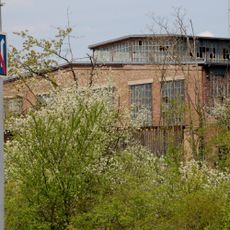
Strebel-Halle, Wiener Neustadt
915 m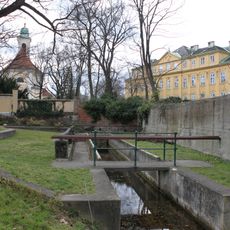
Waschschwemmplatz
1.6 km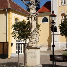
Kruzifix/Kreuz
1.7 km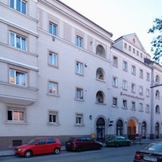
Kommunaler Wohnbau, Pernerstorferhof
916 m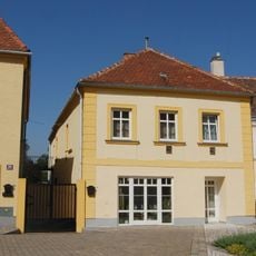
Bürgerhaus
1.7 km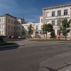
Sonder- und Volksschule
886 mVisited this place? Tap the stars to rate it and share your experience / photos with the community! Try now! You can cancel it anytime.
Discover hidden gems everywhere you go!
From secret cafés to breathtaking viewpoints, skip the crowded tourist spots and find places that match your style. Our app makes it easy with voice search, smart filtering, route optimization, and insider tips from travelers worldwide. Download now for the complete mobile experience.

A unique approach to discovering new places❞
— Le Figaro
All the places worth exploring❞
— France Info
A tailor-made excursion in just a few clicks❞
— 20 Minutes