
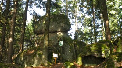
Einsiedlerstein, Rock in Upper Austria
Location: Sankt Thomas am Blasenstein
GPS coordinates: 48.31880,14.76240
Latest update: April 1, 2025 23:21

Burgruine Klingenberg
2 km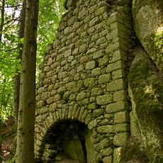
Burgruine Saxenegg
2.8 km
Burg Blasenstein
681 m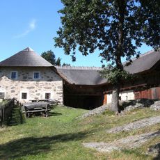
Großdöllnerhof
3 km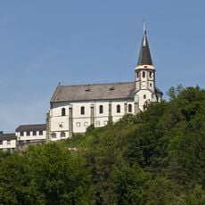
Parish Church in Sankt Thomas am Blasenstein
681 m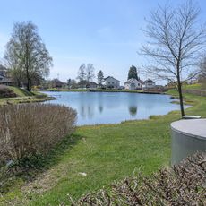
Badesee Rechberg
3.6 km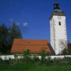
Pfarrkirche Pierbach
3.3 km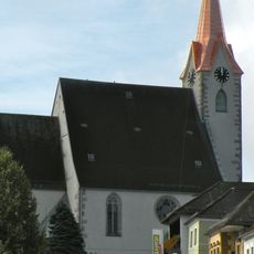
Parish church in Pabneukirchen
4.1 km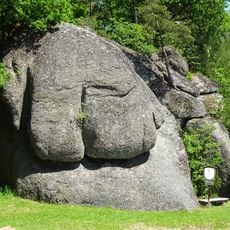
Elefantenstein
2.5 km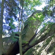
Zigeunermauer
1.6 km
Fuchsmauern
3.8 km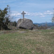
Pammerhöhe
3 km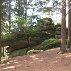
Rock formation on the Plenkerberg
3.4 km
Burgstall Neuhaus
4 km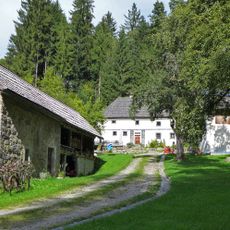
Riglmühle
2.6 km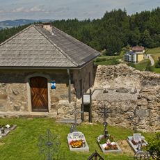
Aufbahrungshalle, ehem. hl. Kreuz- oder Jakobs-Kapelle
621 m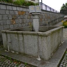
Brunnen
4.1 km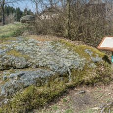
Pechölstein near Großdöllnerhof farm
2.9 km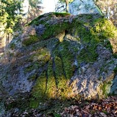
Pechölstein at the Birl farm
2.2 km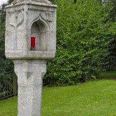
Bildstock
4 km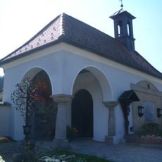
Aufbahrungshalle
3.3 km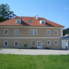
Pfarrhof
3.3 km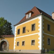
Burgruine Klingenberg
1.8 km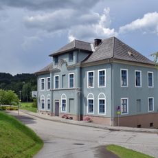
Häferlmuseum
3.4 km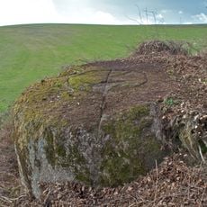
Pechölstein near the Dechtlgruber farm
1.7 km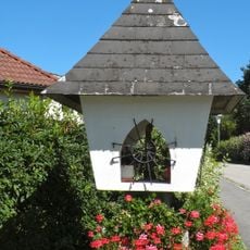
Bildstock
4.2 km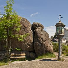
Bucklwehluckn
736 m
Pfarrhof
3.8 kmReviews
Visited this place? Tap the stars to rate it and share your experience / photos with the community! Try now! You can cancel it anytime.
Discover hidden gems everywhere you go!
From secret cafés to breathtaking viewpoints, skip the crowded tourist spots and find places that match your style. Our app makes it easy with voice search, smart filtering, route optimization, and insider tips from travelers worldwide. Download now for the complete mobile experience.

A unique approach to discovering new places❞
— Le Figaro
All the places worth exploring❞
— France Info
A tailor-made excursion in just a few clicks❞
— 20 Minutes