Heuberg, Mountain summit in Forchtenstein, Austria
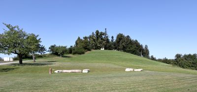
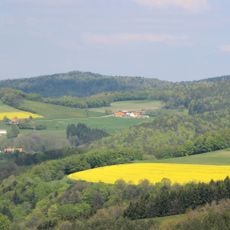
The Heuberg is a mountain in the Rosalia range that rises to 748 meters above sea level, covered with dense forest and grass meadows across its slopes. The terrain features steep grades that create varied natural environments from base to peak.
The mountain formed through geological processes as part of the Rosalia chain and became a natural border between Burgenland and Lower Austria when these states were established in the early 1900s. This position made it an important landmark in regional history.
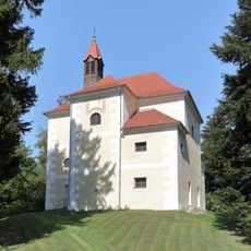
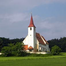
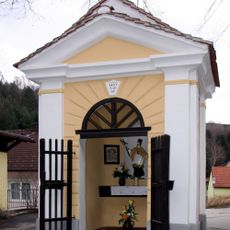
The Rosalia Chapel at the summit brings together visitors and locals for traditional mountain ceremonies and religious gatherings. People experience here a living connection between the landscape and spiritual practice that continues throughout the year.
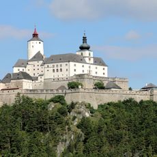
Several marked trails lead to the summit from different starting points, with the main route beginning at the parking area near Forchtenstein Castle. The path is well signposted and visitors find orientation aids along the way.
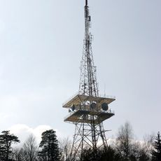
A transmission tower on the northern slope serves as a critical communication hub for the entire Mattersburg district. This technical installation is visible from afar and represents an unexpected feature of this mountain landscape.
The community of curious travelers
AroundUs brings together thousands of curated places, local tips, and hidden gems, enriched daily by 60,000 contributors worldwide.