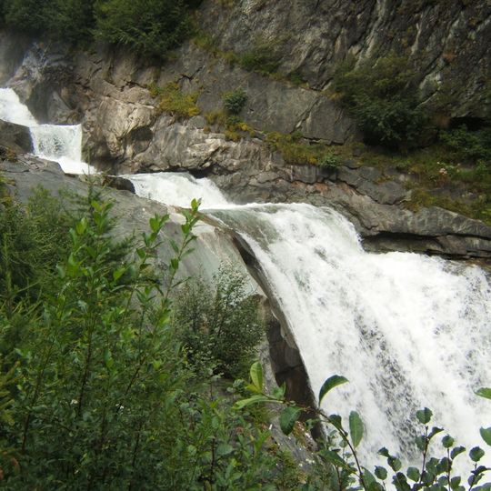
Umbal falls, Three-tiered waterfall system in East Tirol, Austria
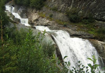
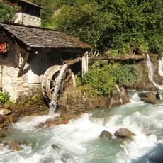
Umbal Falls is a series of cataracts on the upper Isel, called Umbalbach there, west of Hinterbichl in Hohe Tauern National Park. The steep falls carry all the rock material from the Umbalkees glacier, cutting a gorge-like channel. They show a transitional stage from a sliding cataract along a rock layer to a cascade staircase of plunge pools.
From the 1970s, plans to use the Umbaltal for a hydroelectric plant met strong resistance; the Wasserschaupfad along the falls was set up in 1976 in that context. In the night of 17 to 18 May 1985 an avalanche triggered a flash flood in the upper Iseltal that destroyed half of the trail and briefly revived the power-plant debate. The falls were declared a natural monument in 1991.
The Wasserweg begins at the Pebellalm and Islitzeralm huts, where the Wasserweg was laid out in 1976 amid protests against a planned hydroelectric plant in the Umbaltal valley. Wooden viewing platforms and information boards line the route along the falls. A 1985 avalanche flood destroyed half of the path, and the power-plant debate briefly revived.
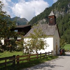
From Hinterbichl a road continues to Ströden, where there is a large paid car park and a bus stop. On foot the two snack stations Pebellalm and Islitzeralm are reached in just under half an hour on a built farm track, somewhat faster by horse-drawn carriage. The Wasserweg begins at these alms, with several viewing platforms and information boards along the falls.
The power of Umbal Falls is generated by melt from the Umbalkees Glacier, causing water flow to vary greatly depending on the season. The strongest flow occurs during summer months when glacier melt reaches its peak.
The community of curious travelers
AroundUs brings together thousands of curated places, local tips, and hidden gems, enriched daily by 92,794 contributors worldwide.