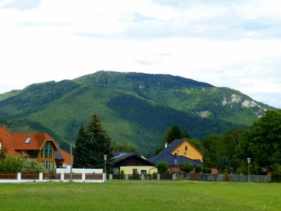
Hohe Mandling, Mountain summit in Pernitz, Austria
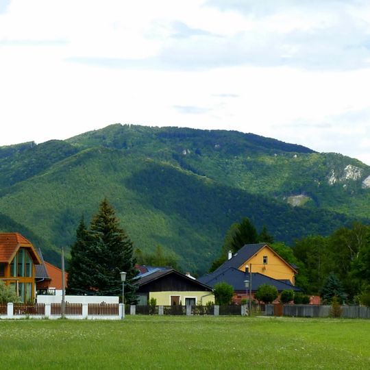
Hohe Mandling is a mountain in the Gutenstein Alps that rises to 967 meters and is surrounded by thick forests on all sides. The terrain features steep climbing sections and creates a wooded mountain landscape typical of this region.
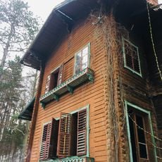
A mountain shelter called Berndorfer Huette operated on the summit clearing from the 1920s until a fire destroyed it in 2007. This hut was an important stopping point for hikers during its long period of operation on the mountain.
A memorial plaque marks the spot between Fotzeben and Hohe Mandling where the last wolf of Lower Austria was shot in November 1866. This event remains part of local memory and reflects how people once viewed wild predators in these forests.
Routes reach the summit from Grillenberg through the Fotzeben, from Neusiedl over the Kleiner and Grosser Rosenkogel, from Reichental via the Quarb or the Mozartfelsen, and from Ortmann on steep trail 36 through the Reissleiten. Trail 231 starts in Waldegg and is also reachable from Oed via the Stampftal. The nearest food and lodging is the Waxeneckhaus at 785 m near the Geyersattel.
The name was first recorded in 1369 as "Mandlich" and likely derives from a Slavic root meaning "neck" or "saddle", the same shift Latin collum underwent toward "pass". Maps disagree on gender: the BEV maps use the feminine "Hohe Mandling", while "Hoher Mandling" also appears.
The community of curious travelers
AroundUs brings together thousands of curated places, local tips, and hidden gems, enriched daily by 93,971 contributors worldwide.