
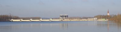
Schärding-Neuhaus power station, run-of-the-river power station on the Inn
Location: Sankt Florian am Inn
Location: Neuhaus am Inn
Location: Schärding
Inception: 1958
Elevation above the sea: 314.19 m
Length: 241 m
GPS coordinates: 48.43540,13.43890
Latest update: September 23, 2025 13:00
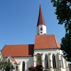
Sankt Florian
596 m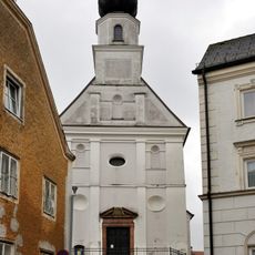
Lutheran parish church, Schärding
2.3 km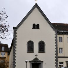
Kurhauskirche Schärding
2.2 km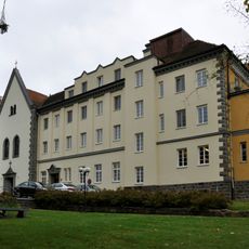
Kneipp-Kuranstalt Schärding
2.2 km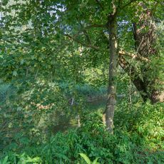
Innauen bei Schärding
1.6 km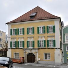
Ludwig Pfliegl Gasse 13
2.3 km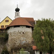
Turm, Befestigungsturm
2.3 km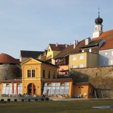
Orangerie
2.2 km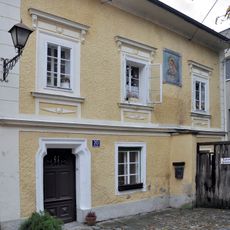
Wohnhaus, ehem. Bader und Wundärzte
2.3 km
Wohnhaus, ehem. Färberhaus
2.3 km
Wohnhaus, Handwerkerhaus samt Ausstattung und Stadtmauer
2.3 km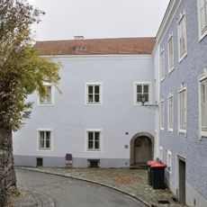
Bürgerhaus, sog. Bruderhaus
2.3 km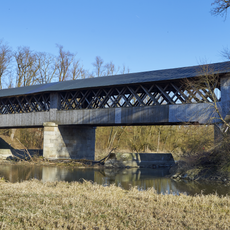
Holzbrücke über die Rott
2.3 km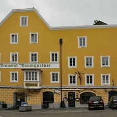
Brauerei, sog. Trojenhaus
2.3 km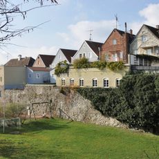
Wehrgraben
2.3 km
Bräuhaus
2.3 km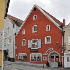
Bürgerhaus
2.3 km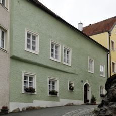
Bürgerhaus, Bildhauer- und Taglöhnerhaus
2.3 km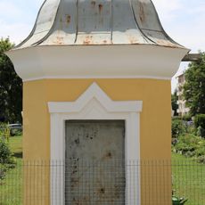
Wasserhaus
1.6 km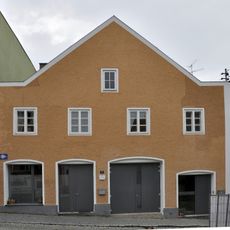
Bürgerhaus
2.3 km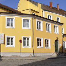
Malzmühle
2.3 km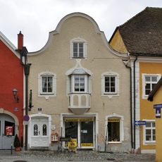
Bürgerhaus
2.3 km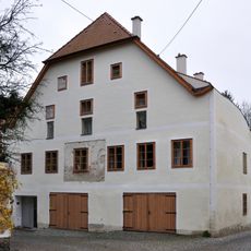
Bürgerhaus
2.3 km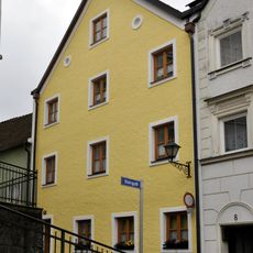
Bürgerhaus, Maurerhaus
2.3 km
Befestigungsturm
2.3 km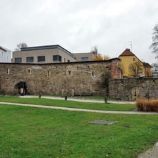
Stadtmauern und Zwingeranlage
2.2 km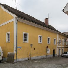
Bürgerhaus, Fleischhauer- bzw. Binderhaus
2.3 km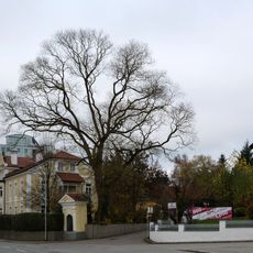
Schnurbaum in Schärding
2.1 kmReviews
Visited this place? Tap the stars to rate it and share your experience / photos with the community! Try now! You can cancel it anytime.
Discover hidden gems everywhere you go!
From secret cafés to breathtaking viewpoints, skip the crowded tourist spots and find places that match your style. Our app makes it easy with voice search, smart filtering, route optimization, and insider tips from travelers worldwide. Download now for the complete mobile experience.

A unique approach to discovering new places❞
— Le Figaro
All the places worth exploring❞
— France Info
A tailor-made excursion in just a few clicks❞
— 20 Minutes