Naturpark Mühlviertel, Nature park and geopark in Upper Austria, Austria
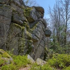
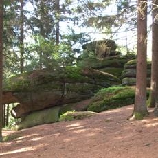
Naturpark Mühlviertel is a protected landscape in Upper Austria featuring rolling hills with granite outcrops, dense forests, and flowing rivers throughout its terrain. The area contains diverse plant communities in different habitats and offers walking paths that connect various points of interest.
Rechberg began pursuing a nature park in 1972, and the Rechberg Nature Park was established by regulation in 1996, covering 3.17 square kilometres. In 2005 it was enlarged to the neighbouring municipalities of Allerheiligen, Bad Zell and St. Thomas am Blasenstein and renamed Naturpark Mühlviertel. Until the founding of Naturpark Obst-Hügel-Land in 2003 it was the only nature park in Upper Austria.
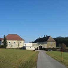
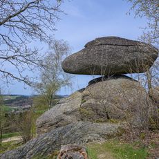
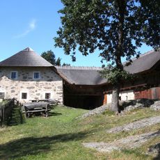
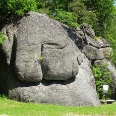
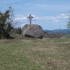
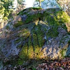
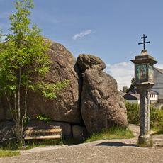
The park's emblem is the Schwammerling, a wobbling boulder shaped by wool-sack weathering on Rechberg's land, also used in the park logo. In Rechberg and St. Thomas am Blasenstein, Pechölsteine recall the old practice of burning resin-rich wood to collect pitch. The Großdöllnerhof open-air museum, a Mühlviertel three-sided farm, houses a permanent exhibition on folk medicine and superstition.
The park consists of several non-contiguous sections across Rechberg, Allerheiligen im Mühlkreis, Bad Zell and St. Thomas am Blasenstein, so plan transfers between them. Since 2019 the 48 km Stoakraft Weg links the park's areas. The Naarntal section also belongs to the Natura 2000 area Waldaist-Naarn.
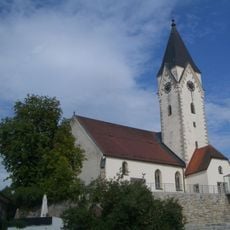
The Schwammerling, a granite boulder shaped by wool-sack weathering, serves as Rechberg's emblem and appears in the nature park's logo. The park also shelters a colony of about 400 mouse-eared bats in the attic of the Rechberg parish church, monitored since 2004.
The community of curious travelers
AroundUs brings together thousands of curated places, local tips, and hidden gems, enriched daily by 94,124 contributors worldwide.