
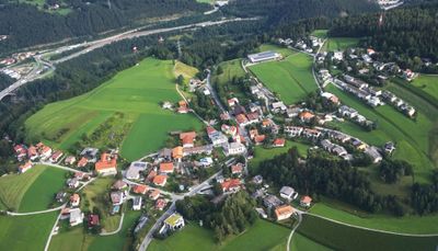
Vill, quarter of Innsbruck, Austria
Location: Innsbruck
Elevation above the sea: 817 m
GPS coordinates: 47.23639,11.40250
Latest update: March 5, 2025 00:14
Hohenburg
976 m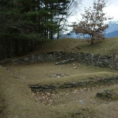
Goarmbichl
217 m
Burg Sonnenburg
1.1 km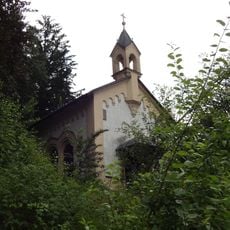
Gluirschhofkapelle
722 m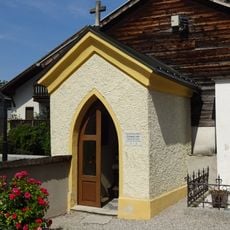
Lourdeskapelle
771 m
Kapelle
986 m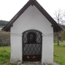
Kapelle zum Klarenhof
1.2 km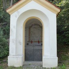
Gedächtniskapelle für 1809
1.4 km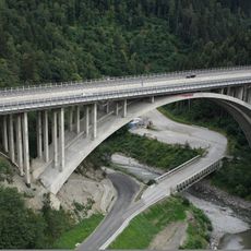
Bergiselbrücke
1.5 km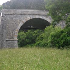
Straßenbrücke bei Gärberbach
1.5 km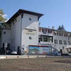
Patscherkofelbahn-Talstation
1.2 km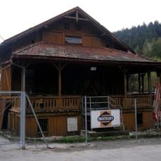
Holzveranda beim Zenzenhof
1.1 km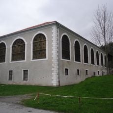
Verwalterhaus des Zenzenhofes
1.2 km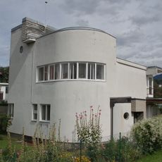
Villa/Landhaus
669 m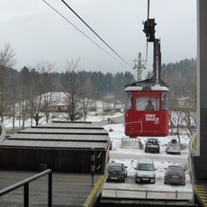
Patscherkofelbahn
1.2 km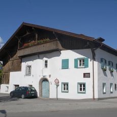
Wieserhof
796 m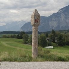
Christophorusbildstock
504 m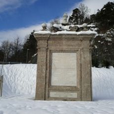
Kaiserdenkmal
1.2 km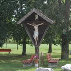
Kruzifix
1.2 km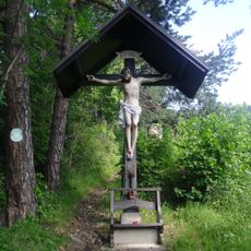
Viller Kreuz am Fußweg zur Poltenhütte
1.5 km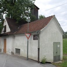
Nebengebäude der Feuerwehr mit Schlauchturm
62 m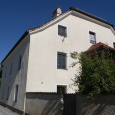
Widum
725 m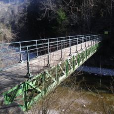
Fußgängerbrücke, Eiserner Steg in der Sillschlucht
1.1 km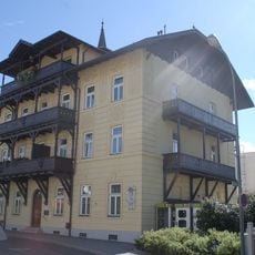
Wohnhaus, ehem. Schulhaus
749 m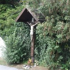
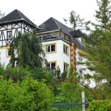
Kruzifix an der Außenmauer des Schlosshotels
580 m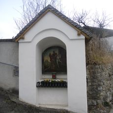
Nischenbildstock hl. Martin/Kriegerdenkmal
39 m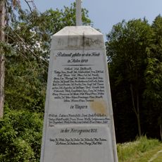
Pyramide Bergisel
1.5 km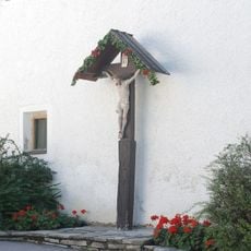
Kruzifix
809 mReviews
Visited this place? Tap the stars to rate it and share your experience / photos with the community! Try now! You can cancel it anytime.
Discover hidden gems everywhere you go!
From secret cafés to breathtaking viewpoints, skip the crowded tourist spots and find places that match your style. Our app makes it easy with voice search, smart filtering, route optimization, and insider tips from travelers worldwide. Download now for the complete mobile experience.

A unique approach to discovering new places❞
— Le Figaro
All the places worth exploring❞
— France Info
A tailor-made excursion in just a few clicks❞
— 20 Minutes