
Spitalberg, bewaldeter Bergrücken in Klagenfurt am Wörthersee
Location: Klagenfurt
Elevation above the sea: 498 m
GPS coordinates: 46.64409,14.30786
Latest update: April 5, 2025 18:26
Heereswirtschaftsanstalt, Gruppenverpflegungsanstalt II
1.6 km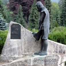
Klagenfurt (Annabichl) Cemetery
1.1 km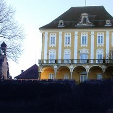
Annabichl Castle
1.4 km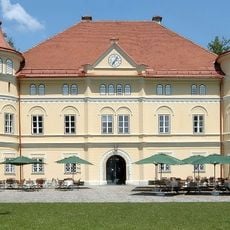
Schloss Mageregg
1.8 km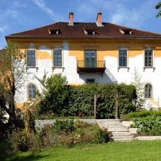
Schloss Zigguln
1.6 km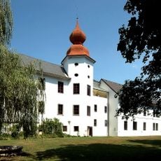
Schloss Ehrenhausen
1 km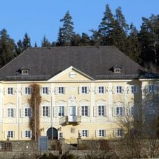
Schloss Ehrenthal, Klagenfurt
1.2 km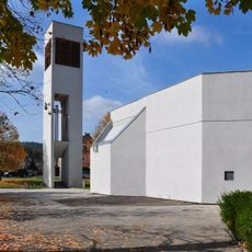
Hemma of Gurk Church
1.4 km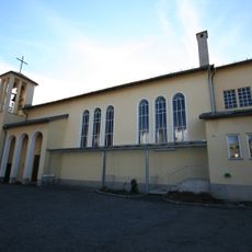
Pfarrkirche Zum Kostbaren Blut, Klagenfurt-Annabichl
576 m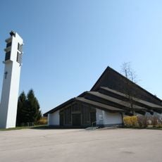
Pfarrkirche Klagenfurt-St. Theresia
1.6 km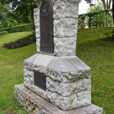
Achterjäger-Gedenkstein im Achterjäger-Park Klagenfurt
1.8 km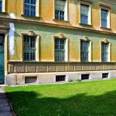
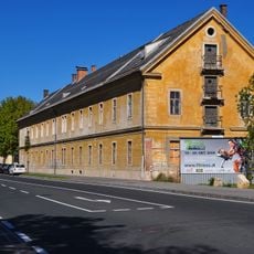
Waisenhauskaserne/Stabsgebäude
1.8 km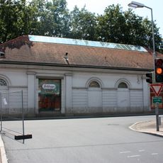
Napoleonstadel, Klagenfurt
1.8 km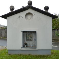
Bildstock Marolla
610 m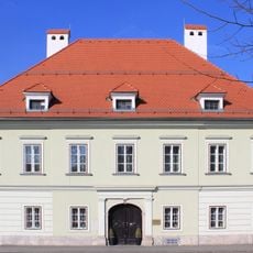
Klagenfurt, St. Veiter Ring 5
1.8 km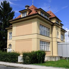
Klagenfurt, Ehrentaler Straße 24
412 m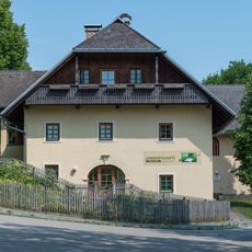
Stadel Schloss Ehrenthal
1.1 km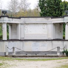
Grabstätte Helldorff
1.2 km
Klagenfurt, Kraßniggstraße 42
1.5 km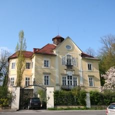
Klagenfurt, Herbertstöckl
1.8 km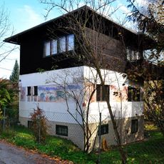
Lobisser-Haus, Klagenfurt
1.7 km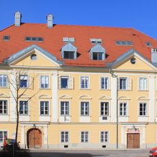
Klagenfurt, St. Veiter Ring 27
1.7 km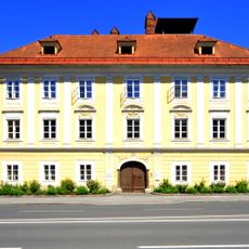
Klagenfurt, St. Veiter Ring 51
1.8 km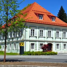
Klagenfurt, St. Veiter Ring 55
1.8 km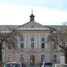
Klagenfurt, St. Veiter Straße 47
1.2 km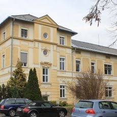
Klagenfurt, Krassniggstraße 13
1.4 km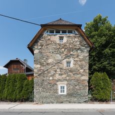
Gotischer Mauerspeicher, Klagenfurt-Tessendorf
1.8 km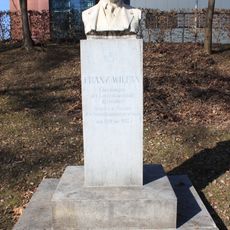
Klagenfurt, Wilfan-Denkmal
1.8 kmReviews
Visited this place? Tap the stars to rate it and share your experience / photos with the community! Try now! You can cancel it anytime.
Discover hidden gems everywhere you go!
From secret cafés to breathtaking viewpoints, skip the crowded tourist spots and find places that match your style. Our app makes it easy with voice search, smart filtering, route optimization, and insider tips from travelers worldwide. Download now for the complete mobile experience.

A unique approach to discovering new places❞
— Le Figaro
All the places worth exploring❞
— France Info
A tailor-made excursion in just a few clicks❞
— 20 Minutes