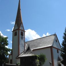
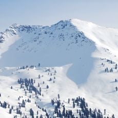
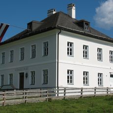
Schatzberg, Mountain summit in Kitzbühel Alps, Austria.
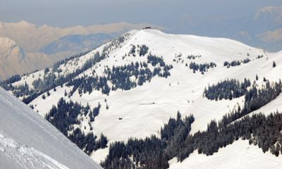
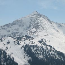
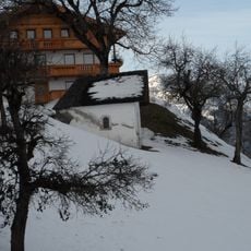
Schatzberg is a mountain in the Kitzbühel Alps reaching 1,898 meters and defines the landscape of the region with its distinctive ridges. The western slopes are forested while the eastern face opens up with a more exposed appearance, creating the mountain's recognizable shape.
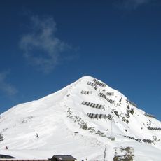
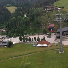
The mountain became a winter sports destination in the mid-20th century following the construction of lift systems that made slopes accessible to skiers and snowboarders. This development transformed the mountain from pastoral use into an alpine sports center.
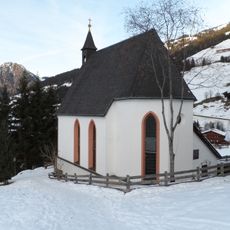
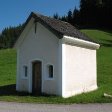
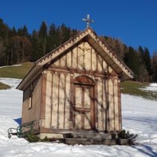
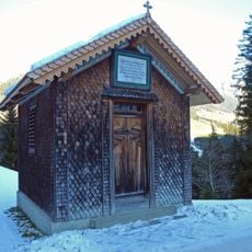
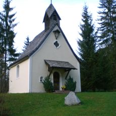
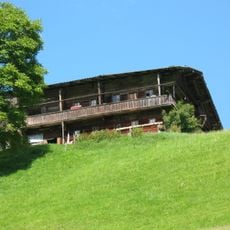
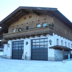
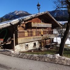
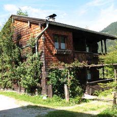
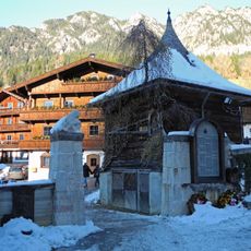
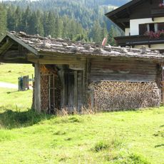
The mountain huts on the slope serve as gathering places where visitors and locals share meals in a communal setting. People come together here to experience hospitality in its simplest form, maintaining customs that have been part of Alpine life for generations.
A cable car system transports visitors up the mountain efficiently, making the peak accessible for hikers and winter sports enthusiasts without requiring a steep climb. Weather and seasonal conditions change significantly from the base to the summit, so dress in layers and check conditions before heading out.
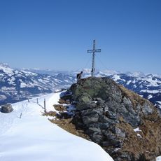
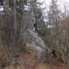
A hiking route leads from the summit to a mountain lake nestled in a hidden valley, offering expansive views of multiple Alpine ranges. Many visitors overlook this detour despite the remarkable vistas it provides of the surrounding peaks.
The community of curious travelers
AroundUs brings together thousands of curated places, local tips, and hidden gems, enriched daily by 60,000 contributors worldwide.