
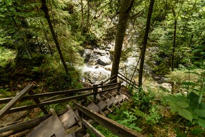
Donnersbachklamm, Schlucht an den nördlichen Abfällen der Rottenmanner und Wölzer Tauern im Ennstal
Location: Irdning-Donnersbachtal
GPS coordinates: 47.44935,14.13809
Latest update: April 16, 2025 16:54
Schloss Pichlarn
6.2 km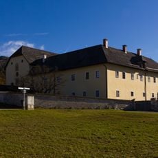
Kapuzinerkloster Irdning
6.4 km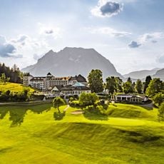
Schloss Pichlarn
6.2 km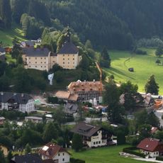
Schloss Donnersbach
1.8 km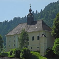
Pfarrkirche Donnersbach
1.8 km
Pürglitzschanze
5.7 km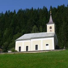
Pfarrkirche Donnersbachwald
7.5 km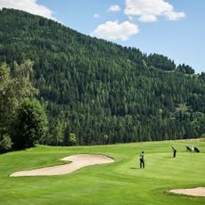
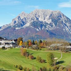
Golf- & Countryclub Schloss Pichlarn
6 km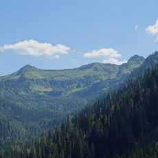
Plannerseekarspitze
6.6 km
Mölbegg
3.7 km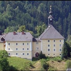
Castle and parish church Donnersbach
1.8 km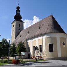
Saints Peter and Paul Church (Irdning)
6.8 km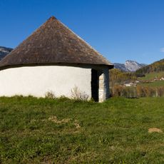
Galgenkreuz Irdning
7.1 km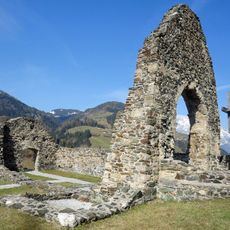
Kirchenruine St. Ägydius
1.3 km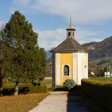
Kalvarienbergkapelle Irdning
7 km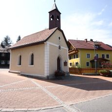
Chapel Raumberg
5.4 km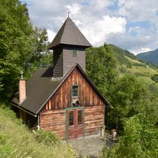
Ortskapelle Vorberg
6.8 km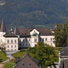
Schloss Gumpenstein, Irdning
5.9 km
Figurenbildstock hl. Johannes Nepomuk Donnersbach
2.1 km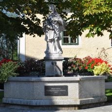
Brunnen mit Figur hl. Johannes Nepomuk
6.8 km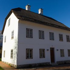
Altirdninger Straße 41
6.5 km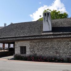
Ehemalige Schmiede, Altirdning
6.5 km
Public library Irdning-Aigen
6.8 km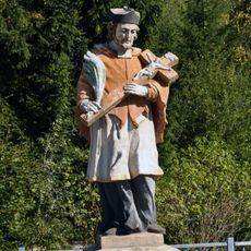
Figurenbildstock hl. Johannes Nepomuk
6.1 km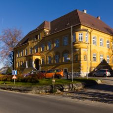
Bezirksgericht Irdning
6.9 km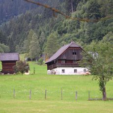
Mörsbachgut Donnersbachwald
7.2 km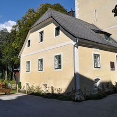
Mesnerhaus
6.8 km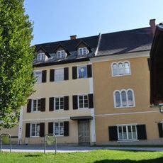
Pfarrhof mit Nebentrakt
6.8 kmReviews
Visited this place? Tap the stars to rate it and share your experience / photos with the community! Try now! You can cancel it anytime.
Discover hidden gems everywhere you go!
From secret cafés to breathtaking viewpoints, skip the crowded tourist spots and find places that match your style. Our app makes it easy with voice search, smart filtering, route optimization, and insider tips from travelers worldwide. Download now for the complete mobile experience.

A unique approach to discovering new places❞
— Le Figaro
All the places worth exploring❞
— France Info
A tailor-made excursion in just a few clicks❞
— 20 Minutes