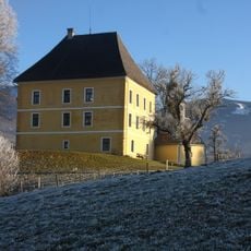
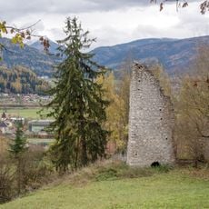
Steirisches Ennstal, Alpine valley in Styria, Austria
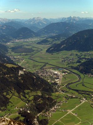
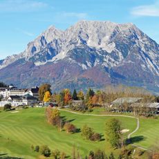
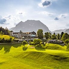
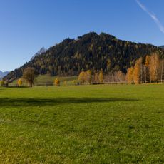
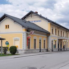
The Steirisches Ennstal stretches about 90 kilometers from west to east between the Mandlingpass and Gesäuse, bordered by the Eastern Central Alps and Northern Limestone Alps. The valley landscape spans multiple communities at varying elevations that follow the course of the Enns River.
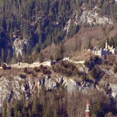
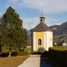
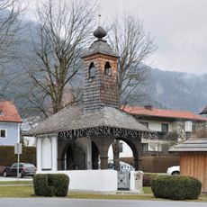
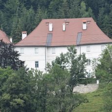
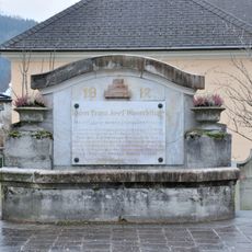
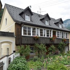
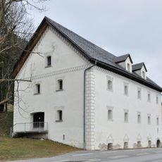
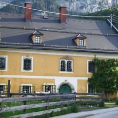
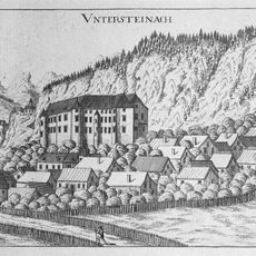
Archaeological findings show continuous human settlements since Celtic times, with medieval communities establishing farming practices that continue today. These traditions were preserved over centuries and still shape the valley's character.
The communities here maintain Styrian traditions through regular farmers markets, local food production, and seasonal festivals celebrating regional agriculture and crafts.
Multiple access points connect the valley to main transportation routes, with regular bus services linking the towns of Liezen, Schladming, and surrounding mountain villages. The best time to explore is between spring and fall, when roads are most accessible and conditions are most reliable.
The valley follows the geological SEMP fault line, creating a natural corridor that extends to the Mur-Mürz furrow through the Palten-Liesing valleys. This geological feature has shaped the entire topography and enabled human settlement across millennia.
The community of curious travelers
AroundUs brings together thousands of curated places, local tips, and hidden gems, enriched daily by 60,000 contributors worldwide.