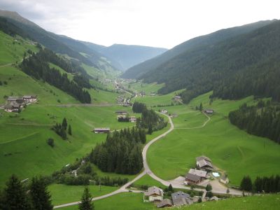
Villgratental, Alpine valley in Lienz District, Austria
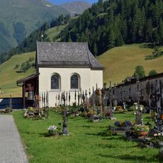
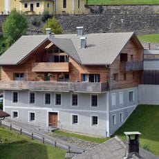
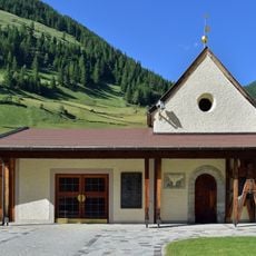
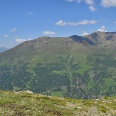
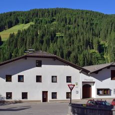
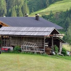
Villgratental is an alpine valley in Lienz District that runs between Außervillgraten and Innervillgraten through steep slopes dotted with wooden mountain farms. The valley floor and surrounding slopes form a natural corridor bordered by forested mountainsides.
Early mountaineers used the valley's high position to observe and record the surrounding peaks, including Großglockner and Großvenediger. This connection to climbing history continues to influence the region today.
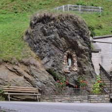
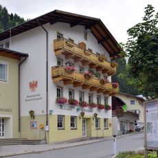
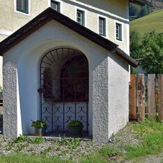
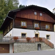
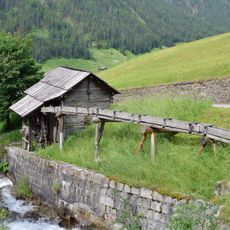
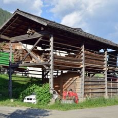
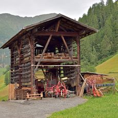
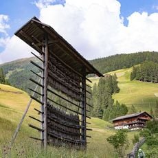
The valley sustains traditional mountain farming, where residents work steep slopes by hand and maintain historic wooden buildings as part of daily life. These practices shape how the landscape looks and how people move through it.
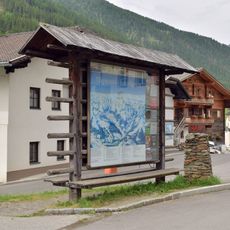
The region has many marked ski touring routes reaching high elevations, with good conditions from November through May. Visitors should prepare for changes in weather and bring sturdy footwear, as conditions can shift quickly on mountain terrain.
The valley is one of Austria's 20 mountaineering villages and operates without extensive ski lift infrastructure, keeping the focus on natural ski touring. This choice preserves the valley's character and appeals to visitors seeking to avoid cable cars and large-scale resort facilities.
The community of curious travelers
AroundUs brings together thousands of curated places, local tips, and hidden gems, enriched daily by 60,000 contributors worldwide.