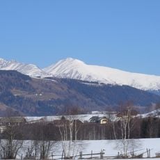
Hemmerfeldeck, mountain in Austria
Location: Styria
Elevation above the sea: 2,443 m
GPS coordinates: 47.22470,13.93602
Latest update: November 17, 2025 23:59
Preber
5.4 km
Krakauhintermuehlen Filialkirche Hollerberg
5 km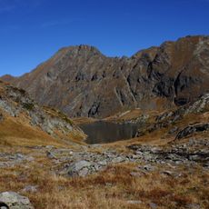
Seekarspitze
6.2 km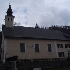
Krakauhintermuehlen Pfarrkirche hl. Ulrich
4.5 km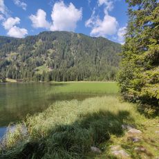
Etrachsee
3.1 km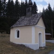
Krakauhintermuehlen Hofkapelle
4.2 km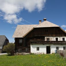
Einhof Joglbauer
4 km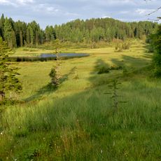
Dürrenecksee
7.3 km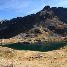
Predigtstuhl
4.6 km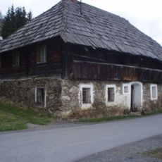
Krakauhintermuehlen Bauernhaus Ebenmottel
4.8 km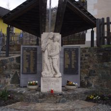
Krakauhintermuehlen Kriegerdenkmal
4.5 km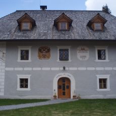
Krakauhintermuehlen Wohnhaus
4.2 km
Putzenalmblick
7.3 km
Memorial, commemorative plaque
6.4 km
Klausner Säge
3.9 km
Wayside shrine, Christianity
3.7 km
Wayside shrine
4.4 km
Commemorative plaque, memorial
6.3 km
Commemorative plaque, memorial
6.2 km
Preber Wasserfall
4.2 km
Wayside shrine, Christianity
6.2 km
Flugzeugabsturz 1944
6.7 km
Wayside cross
6.6 km
Memorial, commemorative plaque
5.4 km
Wayside shrine
4.2 km
Wayside shrine
3.7 km
Wayside cross, Christianity, Catholic church building
6.9 km
Waterfall
6 kmReviews
Visited this place? Tap the stars to rate it and share your experience / photos with the community! Try now! You can cancel it anytime.
Discover hidden gems everywhere you go!
From secret cafés to breathtaking viewpoints, skip the crowded tourist spots and find places that match your style. Our app makes it easy with voice search, smart filtering, route optimization, and insider tips from travelers worldwide. Download now for the complete mobile experience.

A unique approach to discovering new places❞
— Le Figaro
All the places worth exploring❞
— France Info
A tailor-made excursion in just a few clicks❞
— 20 Minutes