Hochtrötsch, Mountain summit in Styria, Austria
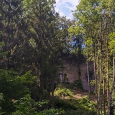
Hochtrötsch is a mountain summit in Styria reaching 1,239 meters in elevation. It sits between the towns of Frohnleiten and Semriach and is crossed by well-marked hiking routes.
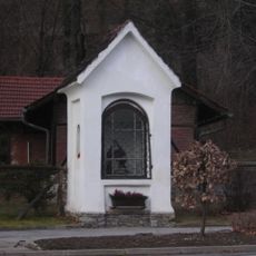
The mountain served for centuries as a natural boundary between neighboring communities in Styria. This geographical position shaped how the surrounding settlements developed in the region.
The area around the summit attracts local hikers and outdoor enthusiasts who regularly explore these trails. The marked paths reflect how strongly mountain activities are part of daily life in this Styrian region.
The climb from the eastern starting point takes about two hours on marked trails with roughly 300 meters of elevation gain. The terrain is manageable in good hiking shoes and the paths are easy to follow.
A geocache sits at the summit, a small metal box where visitors record their mountain visits. This hidden treasure hunting hobby has drawn a dedicated community of geocachers to the peak.
The community of curious travelers
AroundUs brings together thousands of curated places, local tips, and hidden gems, enriched daily by 60,000 contributors worldwide.