
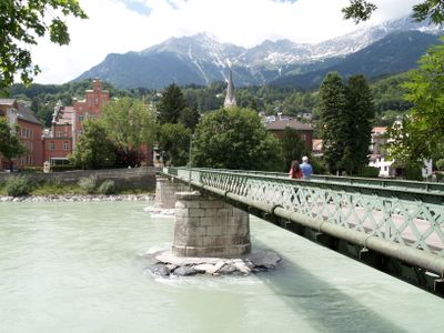
Emile-Béthouart-Steg, Footbridge in Innsbruck
Location: Innsbruck
Inception: 1875
Length: 71 m
GPS coordinates: 47.27327,11.39514
Latest update: April 21, 2025 09:18
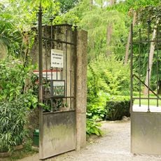
Hofgarten
249 m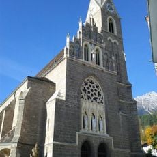
Pfarrkirche St. Nikolaus
205 m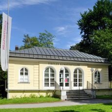
Tiroler Kunstpavillon
168 m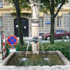
Brunnen in der Innstraße (Hans-Brenner-Platz)
256 m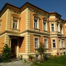
Kapferer Villa
136 m
Tschurtschenthalerstraße 5, Innsbruck
266 m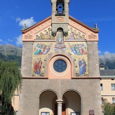
Klosterkirche der Schwestern zur Ewigen Anbetung
298 m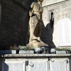
Kriegerdenkmal St. Nikolaus, Innsbruck
209 m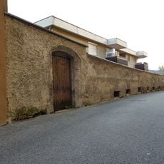
Mauer der landesfürstlichen Glocken- und Geschützgießerei
301 m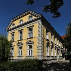
Kindergarten St. Nikolaus, Innsbruck
134 m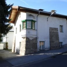
Bauernhaus
246 m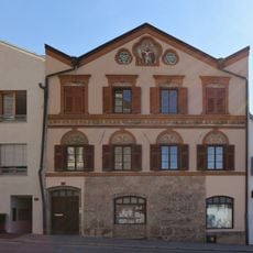
Schmelzergasse 14
168 m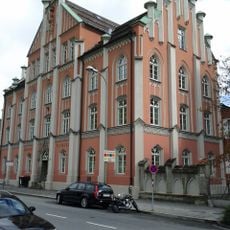
St. Nikolaus-Schule, Innsbruck
82 m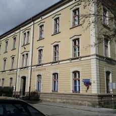
Volksschule St. Nikolaus, Innsbruck
276 m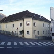
Widum hl. Nikolaus
231 m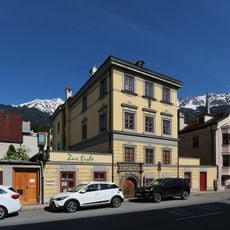
Gasthof zur Eiche, Innsbruck
137 m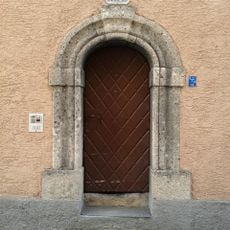
Bürgerhaus, Steinportal
165 m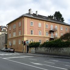
Ansitz Rauschenstein
93 m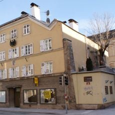
Innstraße 4
287 m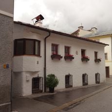
St.-Nikolaus-Gasse 17
213 m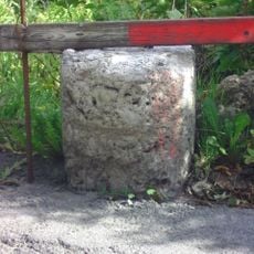
Grenzstein Innsbruck-Hötting
279 m
Innstraße 81
188 m
Innstraße 99
125 m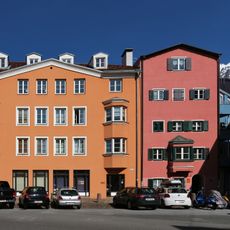
Innstraße 77
218 m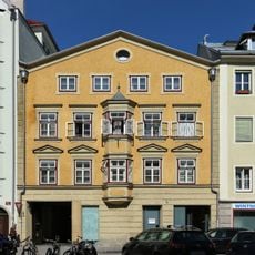
Innstraße 65
290 m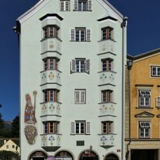
Innstraße 63
298 m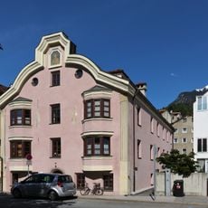
Bürgerhaus, ehem. Gasthaus Elefant
129 m
Bäckerhaus
253 mReviews
Visited this place? Tap the stars to rate it and share your experience / photos with the community! Try now! You can cancel it anytime.
Discover hidden gems everywhere you go!
From secret cafés to breathtaking viewpoints, skip the crowded tourist spots and find places that match your style. Our app makes it easy with voice search, smart filtering, route optimization, and insider tips from travelers worldwide. Download now for the complete mobile experience.

A unique approach to discovering new places❞
— Le Figaro
All the places worth exploring❞
— France Info
A tailor-made excursion in just a few clicks❞
— 20 Minutes