
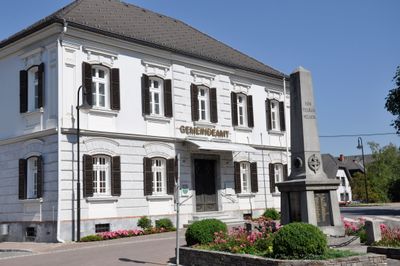
Rathaus/Gemeindeamt, building in Dobl-Zwaring, Austria
Location: Dobl-Zwaring
Address: Unterberg 30
GPS coordinates: 46.94709,15.37556
Latest update: April 10, 2025 17:47
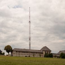
Dobl Transmitter
468 m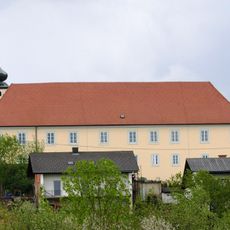
Schloss Lannach
3.3 km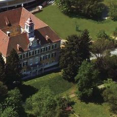
Schloss Premstätten
3.7 km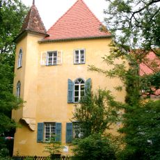
Schloss Gjaidhof
123 m
TEML
3.5 km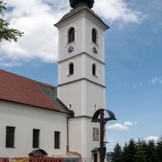
St. Thomas im Walde, Unterpremstätten
2.9 km
Kath. Pfarrkirche Haselsdorf-Tobelbad
3.8 km
Trattenbach
260 m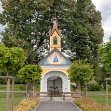
Ortskapelle Dobl
531 m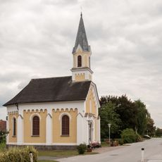
Ortskapelle Petzendorf
3 km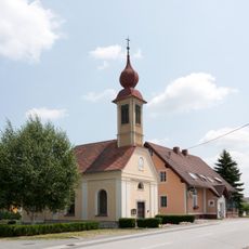
Ortskapelle Dietersdorf
3.6 km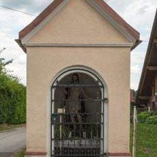
Blumauer-Kapelle
329 m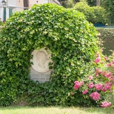
Persönlichkeitsdenkmal für Kaiser Franz Josef I.
3.8 km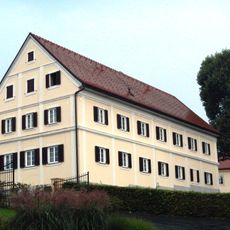
Schloss Lannach Schüttkasten
3.2 km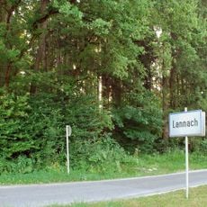
Hügelgräberfeld Schlossried
4 km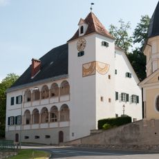
Pfarrhof Tobelbad
3.9 km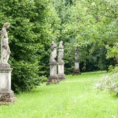
Schloss Premstätten Terrasse
3.7 km
Hügelgräber im Kaiserwald (KG Laa)
2.9 km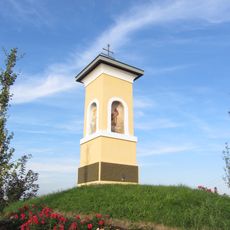
Künstlicher Hügel mit Bildstock Kogelkreuz
3.7 km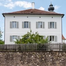
Pfarrhof mit Böschungsmauer
2.9 km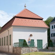
Festsaal Haselsdorf-Tobelbad
3.9 km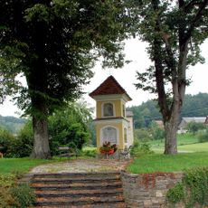
Oisnitz Kriegerdenkmal
3.9 km
Hügelgräber im Kaiserwald
2.2 km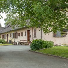
Nebengebäude des Senders Dobl
408 m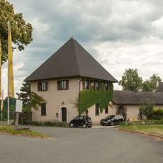
Wachhaus des Sender Dobl
444 m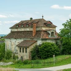
Gartenhaus
3.8 km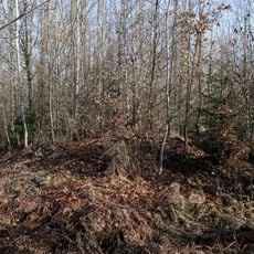
Barrow cemetery Schlossried
3.8 km
Pfarrhof Dobl
164 mReviews
Visited this place? Tap the stars to rate it and share your experience / photos with the community! Try now! You can cancel it anytime.
Discover hidden gems everywhere you go!
From secret cafés to breathtaking viewpoints, skip the crowded tourist spots and find places that match your style. Our app makes it easy with voice search, smart filtering, route optimization, and insider tips from travelers worldwide. Download now for the complete mobile experience.

A unique approach to discovering new places❞
— Le Figaro
All the places worth exploring❞
— France Info
A tailor-made excursion in just a few clicks❞
— 20 Minutes