
Former Rathaus, Mannersdorf am Leithagebirge, building in Mannersdorf am Leithagebirge, Austria
Location: Mannersdorf am Leithagebirge
GPS coordinates: 47.97201,16.60047
Latest update: March 3, 2025 11:52

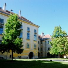
Schloss Mannersdorf am Leithagebirge
364 m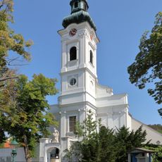
Martinskirche
195 m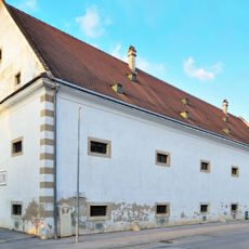
Schüttkasten Mannersdorf am Leithagebirge
403 m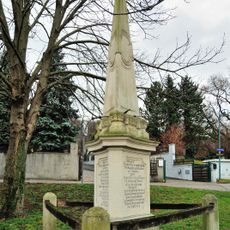
Ereignisdenkmal, Maria-Theresien-Obelisk
411 m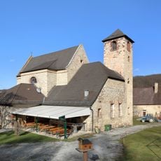
Kloster St. Anna in der Wüste
2.1 km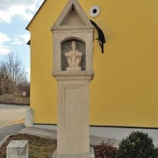
Bildstock
153 m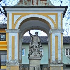
Nepomuk-Kapelle, Mannersdorf am Leithagebirge
233 m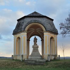
Donatuskapelle, Mannersdorf am Leithagebirge
1.5 km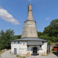
Lime kiln „BAXA“, Mannersdorf an der Leitha
1 km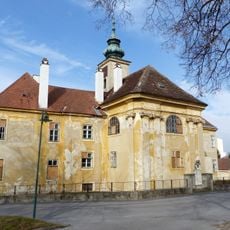
Perlmooser-Hof, Mannersdorf am Leithagebirge
180 m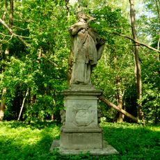
Nepomukstatue, Naturpark Mannersdorf-Wüste
1.9 km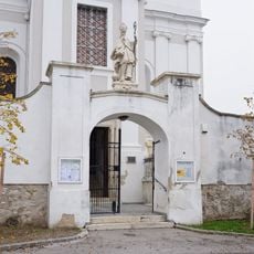
Friedhofsportal mit Figur hl. Martin, Umfassungsmauer und 3 Grabdenkmälern
199 m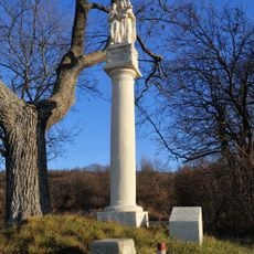
Figurenbildstock
1.7 km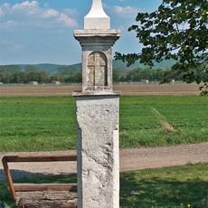
Bildstock, Weißes Kreuz
2.3 km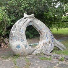
Spielplastik Rutsche mit Planschbecken, ehem. Werkssiedlung
754 m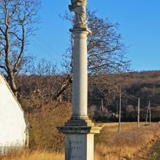
Mariensäule
846 m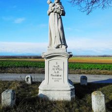
Antoni-Säule
1.5 km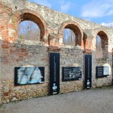
St. Leopold Chapel, Mannersdorf am Leithagebirge
1.9 km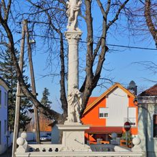
Pest-/Dreifaltigkeitssäule
326 m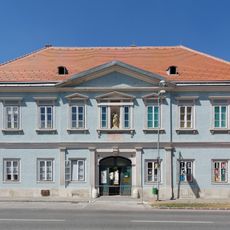
Wohnhaus, ehem. Schule
46 m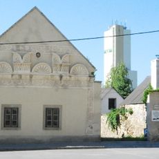
Sgraffitohaus
402 m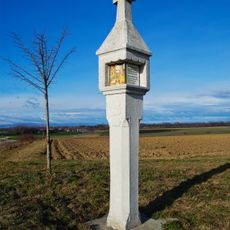
Leonardikreuz
1.5 km
Gerichtsstöckl
313 m
Adlerhaus
1.2 km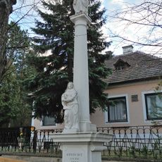
Figurenbildstock
454 m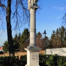
Figurenbildstock
156 m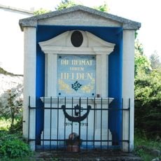
Kriegerdenkmal in Mannersdorf am Leithagebirge
166 m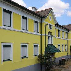
Arbeiterwohnhaus
746 mReviews
Visited this place? Tap the stars to rate it and share your experience / photos with the community! Try now! You can cancel it anytime.
Discover hidden gems everywhere you go!
From secret cafés to breathtaking viewpoints, skip the crowded tourist spots and find places that match your style. Our app makes it easy with voice search, smart filtering, route optimization, and insider tips from travelers worldwide. Download now for the complete mobile experience.

A unique approach to discovering new places❞
— Le Figaro
All the places worth exploring❞
— France Info
A tailor-made excursion in just a few clicks❞
— 20 Minutes