
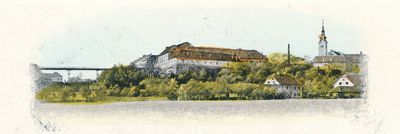
Gesamtanlage ehem. Tabakfabrik/Areal ehem. landesfürstliche Burg
Gesamtanlage ehem. Tabakfabrik/Areal ehem. landesfürstliche Burg, building in Fürstenfeld, Austria
Location: Fürstenfeld
Address: Kirchenplatz 5 u. a.
GPS coordinates: 47.04991,16.08100
Latest update: April 4, 2025 09:47
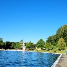
Freibad Fürstenfeld
1.4 km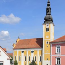
Parish church of Fürstenfeld
130 m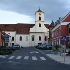
Ehemalige Augustiner-Eremiten Kirche Fürstenfeld
536 m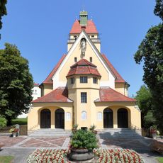
Lutheran church in Fürstenfeld
567 m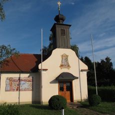
Wieskapelle
1.7 km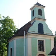
Friedhofskapelle, Josefikapelle
718 m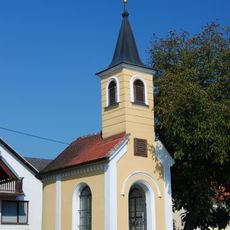
Ortskapelle hl. Susanna
2.5 km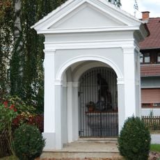
Windisch-Kapelle
2.6 km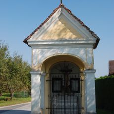
Papstkapelle
2.4 km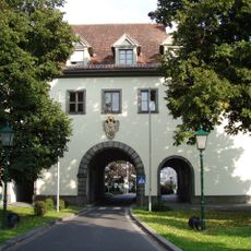
Grazer Tor, Fürstenfeld
543 m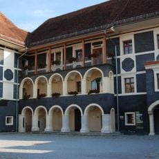
Pfeilburg, Fürstenfeld
386 m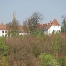
Schloss Welsdorf
1.7 km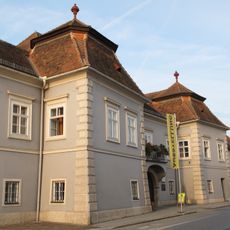
Altes Rathaus Fürstenfeld
441 m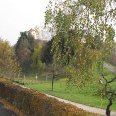
Augustinerbastei, Klosterbastei
630 m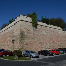
Ungarbastei
283 m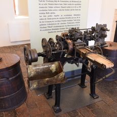
Museum Pfeilburg
396 m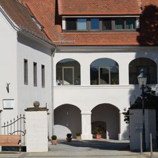
Sovereign Military Order of Malta buildings in Fürstenfeld
172 m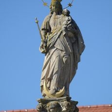
Mariensäule Hauptplatz Fürstenfeld
361 m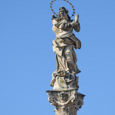
Mariensäule Grazerplatz Fürstenfeld
617 m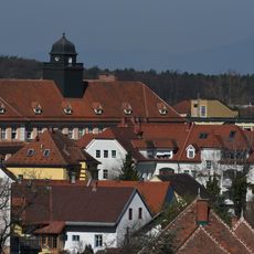
Fürstenfeld - Realschule
459 m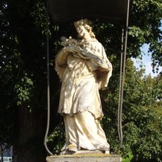
Figur hl. Johannes Nepomuk
562 m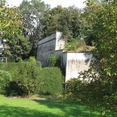
Ziegelmauer der Mühlbastei
556 m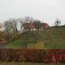
Bastei mit Kavalier hinter der Pfeilburg
422 m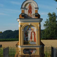
Bildstock Pestkreuz
2.2 km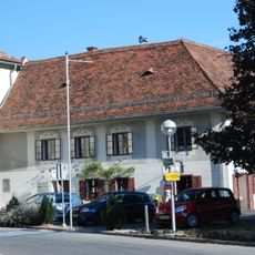
Bürgerhaus
531 m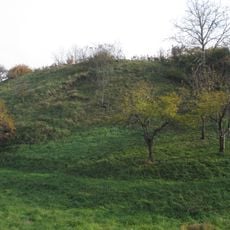
Befestigungsanlage Vorwerk
794 m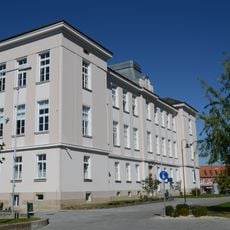
Neue Mittelschule Fürstenfeld
334 m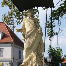
Figur Johannes der Täufer
562 mReviews
Visited this place? Tap the stars to rate it and share your experience / photos with the community! Try now! You can cancel it anytime.
Discover hidden gems everywhere you go!
From secret cafés to breathtaking viewpoints, skip the crowded tourist spots and find places that match your style. Our app makes it easy with voice search, smart filtering, route optimization, and insider tips from travelers worldwide. Download now for the complete mobile experience.

A unique approach to discovering new places❞
— Le Figaro
All the places worth exploring❞
— France Info
A tailor-made excursion in just a few clicks❞
— 20 Minutes