
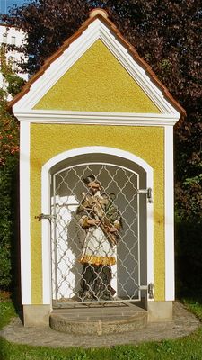
Flur-/Wegkapelle, Figur, building in Sankt Georgen an der Gusen, Austria
Location: Sankt Georgen an der Gusen
Address: Unterer Markt
GPS coordinates: 48.27162,14.45004
Latest update: March 17, 2025 05:51
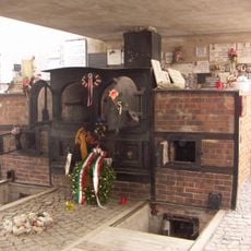
Memorial Gusen
1.9 km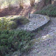
Berglitzl
2.5 km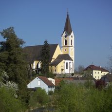
Parish church in St. Georgen an der Gusen
226 m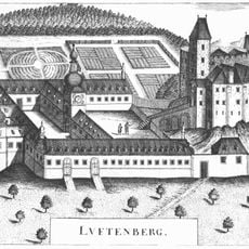
Schloss Luftenberg
2.9 km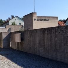
KZ-Gedenkstätte Gusen
1.9 km
Frankenberg church in Langenstein
1.5 km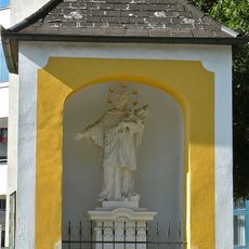
Johannes-Nepomuk-Kapelle
2.6 km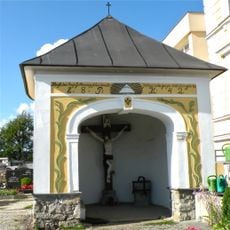
Kapelle
335 m
Teile der Bahntrasse, Schleppbahn Normalspur mit der Schleppbahnbrücke
633 m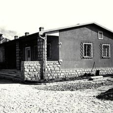
Wohnhaus, Bordellbaracke
2.1 km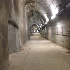
Stollenanlage „Bergkristall“
575 m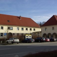
DEST-Verwaltungsgebäude und Wohnhaus
337 m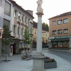
Mariensäule
139 m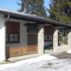
Schützenheim, ehem. SS-Schießstand mit Stützmauer
748 m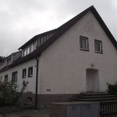
Doppelwohnhaus
363 m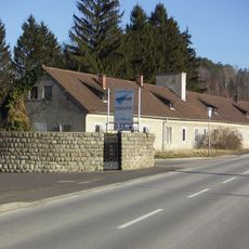
SS-Mannschaftshäuser und Überreste, Polnischer Gedenkstein
2.2 km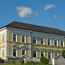
Schule
276 m
Doppelwohnhaus
359 m
Aufzeigerdeckungen des ehem. SS-Schießstandes
777 m
Doppelwohnhaus
387 m
Doppelwohnhaus
336 m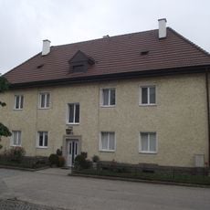
Wohnhaus
301 m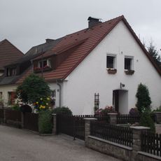
Doppelwohnhaus
316 m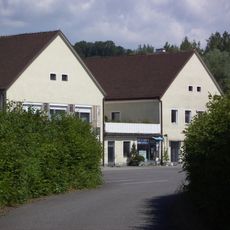
Gemauerte Häftlingsbaracken
2 km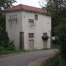
Transformatorengebäude
2.3 km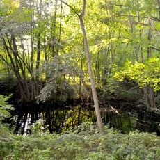
Biotop im Steinbruch Weingraben
2.3 km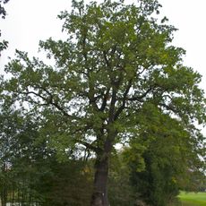
Eiche am Ortsweiher in Luftenberg
2.7 km
Pfarrhof
232 mVisited this place? Tap the stars to rate it and share your experience / photos with the community! Try now! You can cancel it anytime.
Discover hidden gems everywhere you go!
From secret cafés to breathtaking viewpoints, skip the crowded tourist spots and find places that match your style. Our app makes it easy with voice search, smart filtering, route optimization, and insider tips from travelers worldwide. Download now for the complete mobile experience.

A unique approach to discovering new places❞
— Le Figaro
All the places worth exploring❞
— France Info
A tailor-made excursion in just a few clicks❞
— 20 Minutes