
Ur- und frühgeschichtliche Siedlung, Denkmalgeschütztes Objekt in Eltendorf (129770)
Location: Eltendorf
Address: Mühlwiesen und Mühläcker
GPS coordinates: 46.99473,16.21007
Latest update: June 1, 2025 19:18
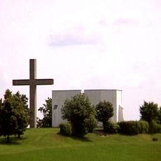
Gedenkstätte Mogersdorf
4.4 km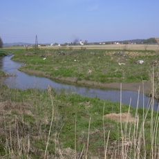
Rittschein
2.4 km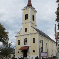
Pfarr- und Wallfahrtskirche Maria Bild
4.4 km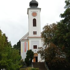
Pfarrkirche Heiligenkreuz im Lafnitztal
3.8 km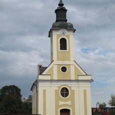
Pfarrkirche Königsdorf
3.1 km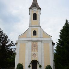
Martin-Luther-Kirche Eltendorf
1.8 km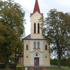
Kath. Filialkirche Maria Schnee
1.6 km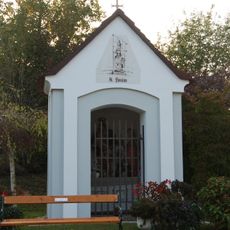
Wegkapelle hl. Florian
2.4 km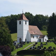
Filialkirche hl. Laurentius, Zahling
3.3 km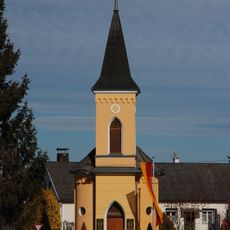
Ortskapelle zur Hl. Dreifaltigkeit
3.1 km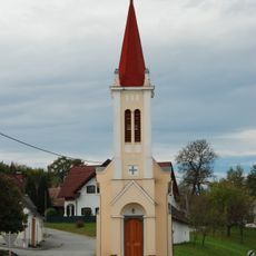
Ortskapelle
2.9 km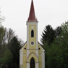
Ortskapelle
3.7 km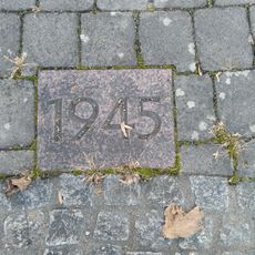
Friedensweg
4.4 km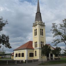
Evangelisches Schul- und Bethaus Königsdorf
3.2 km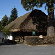
Kreuzstadel
4.2 km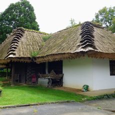
Kreuzstadlmuseum Mogersdorf
4.2 km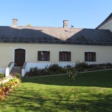
Pfarrhof
4.4 km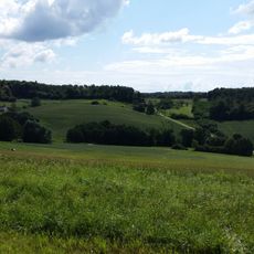
Meisterberg
4.9 km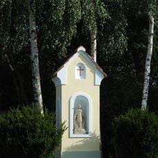
Bildstock Mühltal
3 km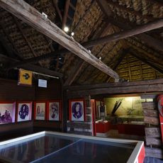
Memorial Room 1664
4.2 km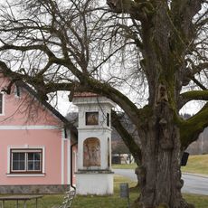
Bildstock Deutsch Minihof
4 km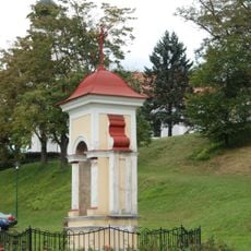
Bildstock
3.9 km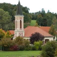
Evangelisches Schul- und Bethaus Zahling
3.4 km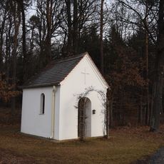
Käferberg-Kapelle
2.9 km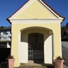
Kapelle Römersiedlung
3.2 km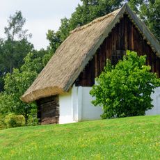
Pressscheune Schlösslberg
4.2 km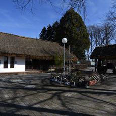
Weinpresse
4.2 km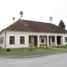
Wohnhaus, Ebenspangerhaus
1.7 kmReviews
Visited this place? Tap the stars to rate it and share your experience / photos with the community! Try now! You can cancel it anytime.
Discover hidden gems everywhere you go!
From secret cafés to breathtaking viewpoints, skip the crowded tourist spots and find places that match your style. Our app makes it easy with voice search, smart filtering, route optimization, and insider tips from travelers worldwide. Download now for the complete mobile experience.

A unique approach to discovering new places❞
— Le Figaro
All the places worth exploring❞
— France Info
A tailor-made excursion in just a few clicks❞
— 20 Minutes