
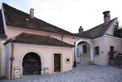
Ehemaliges Bürgerspital, Denkmalgeschütztes Objekt in Rust (17384)
Location: Rust
Address: Rathausplatz 17
GPS coordinates: 47.80008,16.67440
Latest update: March 3, 2025 02:29
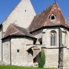
Fischerkirche
22 m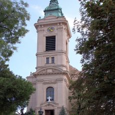
Evangelische Pfarrkirche Rust
63 m
Rathaus Rust
66 m
Evang. Pfarramt, Rust
52 m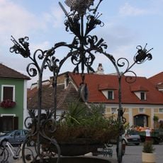
Adlerbrunnen
55 m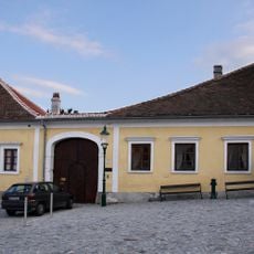
Pfarrhof Rust
22 m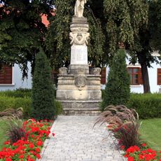
Kriegerdenkmal Rust
78 m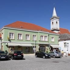
Rathausplatz 5
102 m
Hauptstraße 2
90 m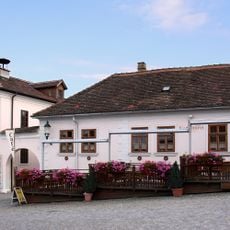
Rathausplatz 15
52 m
Rathausplatz 12
89 m
Rathausplatz 2
74 m
Rathausplatz 3
77 m
Rathausplatz 6
115 m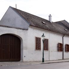
Conradplatz 5
100 m
Kirchengasse 3
83 m
Rathausplatz 4
86 m
Conradplatz 2
50 m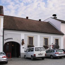
Rathausplatz 14
61 m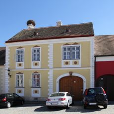
Rathausplatz 13
73 m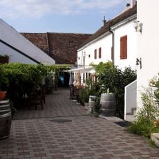
Conradplatz 10
109 m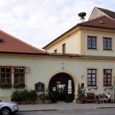
Conradplatz 11
110 m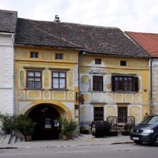
Conradplatz 14
117 m
Rathausplatz 18
25 m
Conradplatz 13
114 m
Conradplatz 9
119 m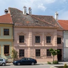
Conradplatz 12
109 m
Rathausplatz 11
105 mVisited this place? Tap the stars to rate it and share your experience / photos with the community! Try now! You can cancel it anytime.
Discover hidden gems everywhere you go!
From secret cafés to breathtaking viewpoints, skip the crowded tourist spots and find places that match your style. Our app makes it easy with voice search, smart filtering, route optimization, and insider tips from travelers worldwide. Download now for the complete mobile experience.

A unique approach to discovering new places❞
— Le Figaro
All the places worth exploring❞
— France Info
A tailor-made excursion in just a few clicks❞
— 20 Minutes