
Volksschule, building in Sieggraben, Austria
Location: Sieggraben
Address: Untere Hauptstraße 17
GPS coordinates: 47.64748,16.37961
Latest update: March 3, 2025 20:01

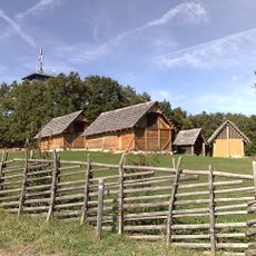
Keltendorf Schwarzenbach
1.8 km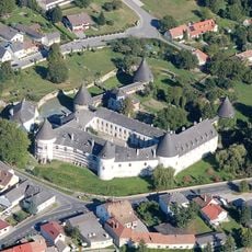
Kobersdorf Castle
5.7 km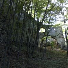
Burgruine Schwarzenbach
3.1 km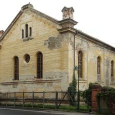
Synagoge Kobersdorf
5.6 km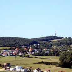
Brenntenriegel
1.6 km
Maria Bründl (Schwarzenbach)
2.1 km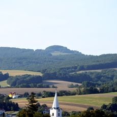
Sieggrabener Kogel
2 km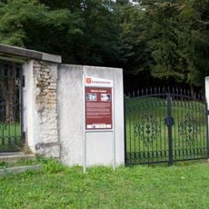
Jewish cemetery in Kobersdorf
5.8 km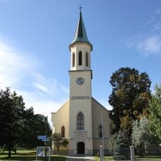
Evangelische Pfarrkirche Kobersdorf
6.2 km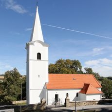
Pfarrkirche hl. Nikolaus, Kobersdorf
6 km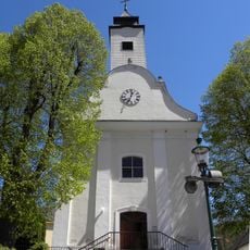
Pfarrkirche Schwarzenbach
2.1 km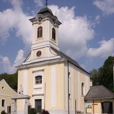
Pfarrkirche Sieggraben
317 m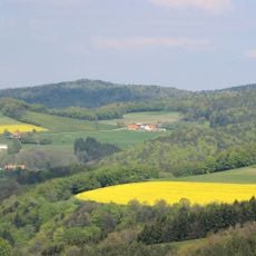
Schwarzkogel (Rosaliengebirge)
4.6 km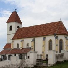
Saint Anne Church
7.4 km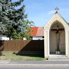
Kreuzkapelle
5.9 km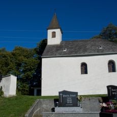
Kath. Filialkirche Oberpetersdorf
3.7 km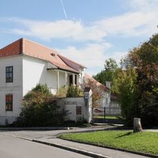
Heimatmuseum, ehem. Zollhaus, Kobersdorf
5.8 km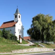
Kath. Filialkirche
5.3 km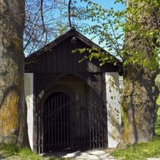
Türkenkapelle
7.5 km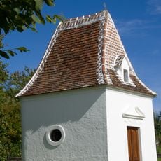
Kapelle hl. Florian
5.4 km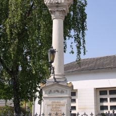
Pest-/Dreifaltigkeitssäule
189 m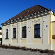
Kindergarten, evangelischer Betsaal und Schule
5.2 km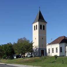
Glockenstuhl - Wetterturm, Weppersdorf
5.2 km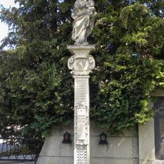
Mariensäule
2.5 km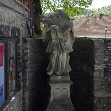
Figurenbildstock hl. Johannes Nepomuk
2.5 km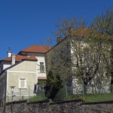
Kaiser-Franz-Joseph-Jubiläumshaus, ehem. Amtsgebäude
7.5 km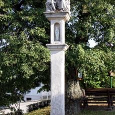
Pest-/Dreifaltigkeitssäule
7.2 km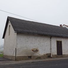
Residential buildings Schloßgasse 27
5.5 kmVisited this place? Tap the stars to rate it and share your experience / photos with the community! Try now! You can cancel it anytime.
Discover hidden gems everywhere you go!
From secret cafés to breathtaking viewpoints, skip the crowded tourist spots and find places that match your style. Our app makes it easy with voice search, smart filtering, route optimization, and insider tips from travelers worldwide. Download now for the complete mobile experience.

A unique approach to discovering new places❞
— Le Figaro
All the places worth exploring❞
— France Info
A tailor-made excursion in just a few clicks❞
— 20 Minutes