
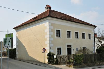
Wohnhaus, ehem. Bürgerspital, building in Ottensheim, Austria
Location: Ottensheim
Address: Hostauerstraße 17
GPS coordinates: 48.33295,14.17331
Latest update: March 22, 2025 12:36
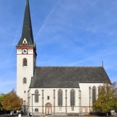
Parish church Sankt Ägidius
191 m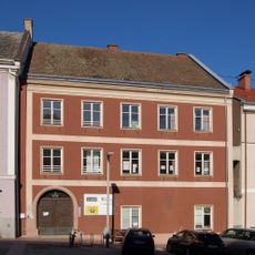
Marktplatz 9
320 m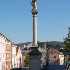
Mariensäule Ottensheim
267 m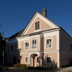
Pfarrhof Ottensheim
227 m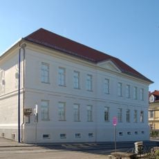
Hauptschule Ottensheim
148 m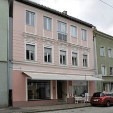
Wohn- und Geschäftshaus, Apotheke, Gürtlerhaus Nr. 67
288 m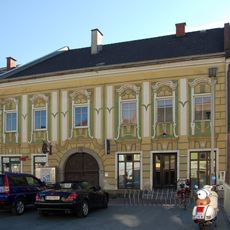
Marktplatz 22 (Ottensheim)
240 m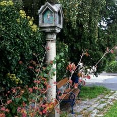
Bäckersäule
142 m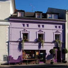
Linzer Straße 12
319 m
Marktplatz 20 (Ottensheim)
265 m
Marktplatz 26
188 m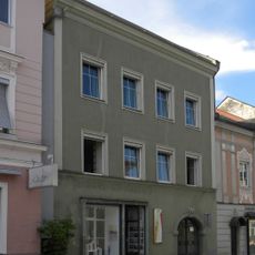
Wohn- und Geschäftshaus, Kronpichlhaus Nr. 66
295 m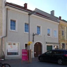
Marktplatz 21 (Ottensheim)
251 m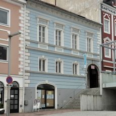
Marktplatz 18
287 m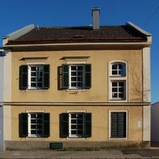
Linzer Straße 6
302 m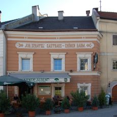
Marktplatz 25
200 m
Marktplatz 3
322 m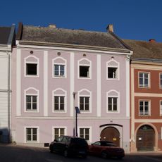
Marktplatz 8
305 m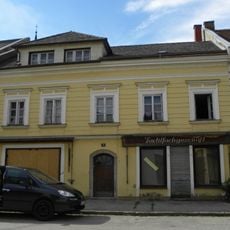
Wohnhaus, Glasererhaus Nr. 70
276 m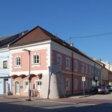
Marktplatz 5
270 m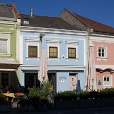
Marktplatz 4 (Ottensheim)
261 m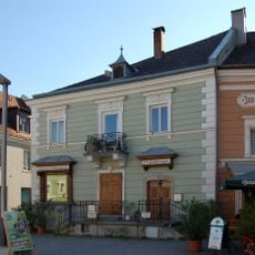
Marktplatz 24 (Ottensheim)
210 m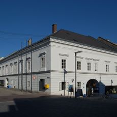
Marktplatz 6,7
296 m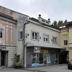
Wohnhaus
309 m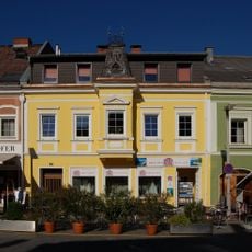
Marktplatz 2
241 m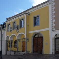
Marktplatz 16
306 m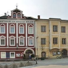
Marktplatz 19 (Ottensheim)
276 m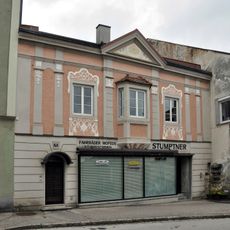
Wohn- und Geschäftshaus
301 mVisited this place? Tap the stars to rate it and share your experience / photos with the community! Try now! You can cancel it anytime.
Discover hidden gems everywhere you go!
From secret cafés to breathtaking viewpoints, skip the crowded tourist spots and find places that match your style. Our app makes it easy with voice search, smart filtering, route optimization, and insider tips from travelers worldwide. Download now for the complete mobile experience.

A unique approach to discovering new places❞
— Le Figaro
All the places worth exploring❞
— France Info
A tailor-made excursion in just a few clicks❞
— 20 Minutes