
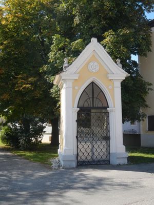
Maria-Hilf-Kapelle, building in Zwentendorf an der Donau, Austria
Location: Zwentendorf an der Donau
GPS coordinates: 48.34316,15.90752
Latest update: March 24, 2025 10:41
GK Dürnrohr
2.5 km
Castra of Zwentendorf
478 m
Schloss Zwentendorf
442 m
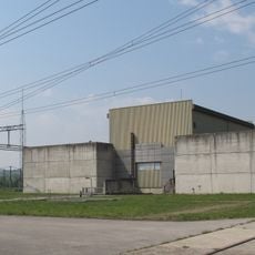
AKW Zwentendorf
2.1 km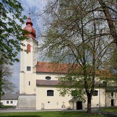
Pfarrkirche Heiligeneich
5 km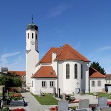
Pfarrkirche Rust im Tullnerfeld
4.7 km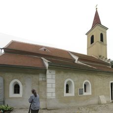
Filialkirche hl. Nikolaus (Winkl)
4.5 km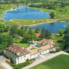
Diamond Country Club
3.1 km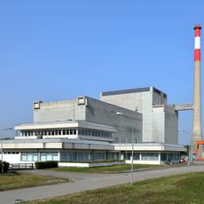
Zwentendorf Nuclear Power Plant
2.1 km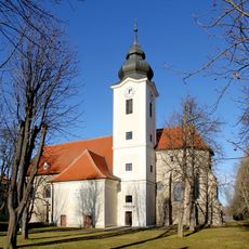
Pfarrkirche Zwentendorf
434 m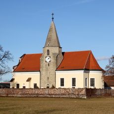
Pfarrkirche Maria Ponsee
4.7 km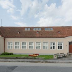
Leopold Figl-Museum
4.8 km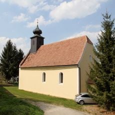
Kath. Filialkirche hl. Anna
4.3 km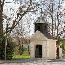
Ortskapelle
4.3 km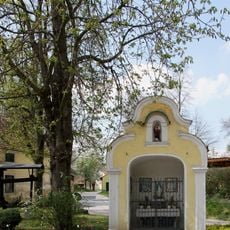
Wegkapelle samt Herz Jesu-Statuette
4.6 km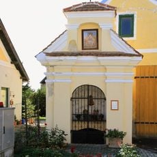
Anderwaldkapelle
4.8 km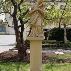
Figur hl. Johannes Nepomuk
5 km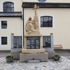
Kriegerdenkmal
5 km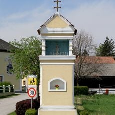
Bildstock
4.5 km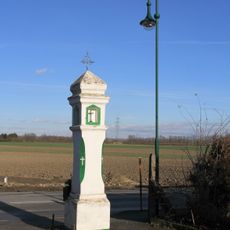
Bildstock
5 km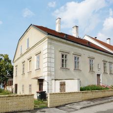
Pfarrhof
4.6 km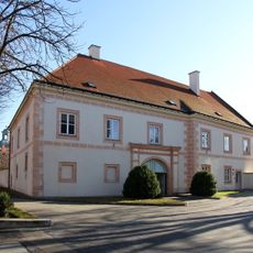
Pfarrhof
396 m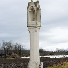
Bildstock
4.1 km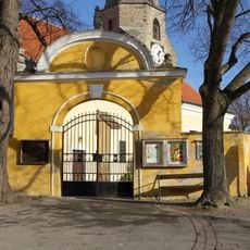
Torbau
4.7 km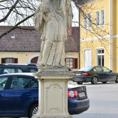
Figur, hl. Johannes Nepomuk
263 m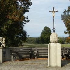
Tafernkreuz
399 m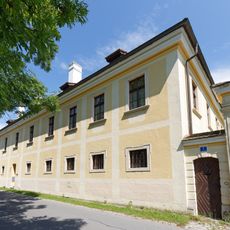
Pfarrhof Maria Ponsee
4.7 km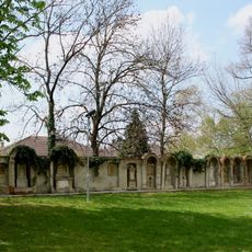
Friedhofsmauer
5 kmReviews
Visited this place? Tap the stars to rate it and share your experience / photos with the community! Try now! You can cancel it anytime.
Discover hidden gems everywhere you go!
From secret cafés to breathtaking viewpoints, skip the crowded tourist spots and find places that match your style. Our app makes it easy with voice search, smart filtering, route optimization, and insider tips from travelers worldwide. Download now for the complete mobile experience.

A unique approach to discovering new places❞
— Le Figaro
All the places worth exploring❞
— France Info
A tailor-made excursion in just a few clicks❞
— 20 Minutes