
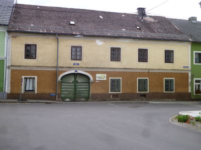
Wohnhaus, sog. Freunschlag-Haus, building in Schenkenfelden, Austria
Location: Schenkenfelden
Address: Markt 17
GPS coordinates: 48.50217,14.36046
Latest update: March 8, 2025 23:22
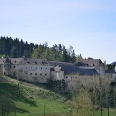
Schloss Waldenfels, Reichenthal
4.6 km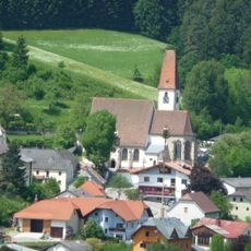
Parish Church Hirschbach
4 km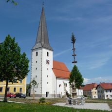
Catholic parish church St. Aegidius
131 m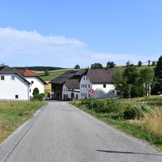
Au
4.2 km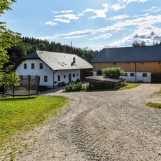
Handlmühle
4.6 km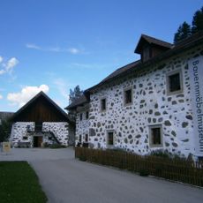
Hirschbacher Bauernmöbelmuseum Edlmühle
4.3 km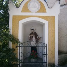
Hl. Johannes Nepomuk-Kapelle
4 km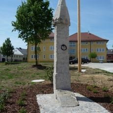
Pranger
110 m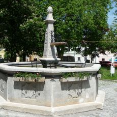
Brunnen
86 m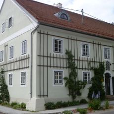
Gerstlhaus
30 m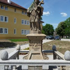
Figurenbildstock hl. Johannes Nepomuk
82 m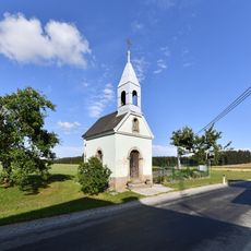
Kapelle Langbruck
3.1 km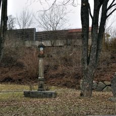
Kühbacherl-Kreuzsäule, Bad Leonfelden
4.7 km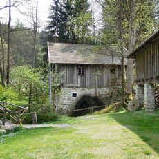
Freilichtmuseum Hayrl
4.7 km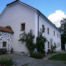
Pfarrhof
4 km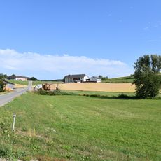
Rodlbrücke bei Au
3.1 km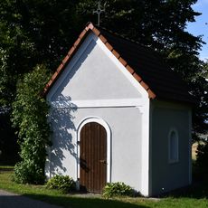
Kapelle Elmegg
4.1 km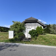
Pumpwerk Hagau
3 km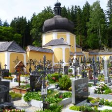
Calvary in Schenkenfelden
1.3 km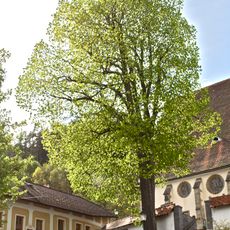
Linde in Hirschbach
4 km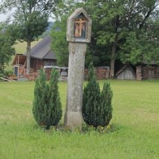
Burgfriedsäule in der Hagauer Straße
4.7 km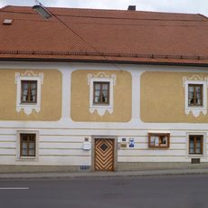
Pfarrhof
170 m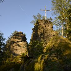
Hirtstein bei Schenkenfelden
1.9 km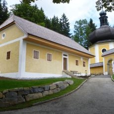
Wohnhaus, sog. Kagerer-Haus
1.3 km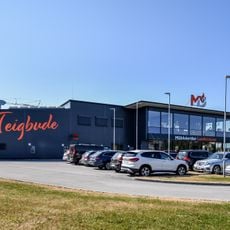
Gewerbepark 2
4.5 km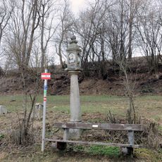
Bildstock bei Hagauer Straße 29
4 km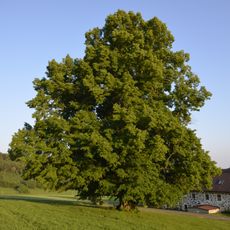
Munterlinde
2.2 km
Gewerbepark 3
4.5 kmVisited this place? Tap the stars to rate it and share your experience / photos with the community! Try now! You can cancel it anytime.
Discover hidden gems everywhere you go!
From secret cafés to breathtaking viewpoints, skip the crowded tourist spots and find places that match your style. Our app makes it easy with voice search, smart filtering, route optimization, and insider tips from travelers worldwide. Download now for the complete mobile experience.

A unique approach to discovering new places❞
— Le Figaro
All the places worth exploring❞
— France Info
A tailor-made excursion in just a few clicks❞
— 20 Minutes