
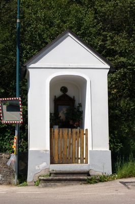
Flur-/Wegkapelle, building in Bromberg, Lower Austria, Austria
Location: Bromberg
Address: bei Thernberger Straße 4
GPS coordinates: 47.66500,16.20819
Latest update: March 3, 2025 17:45

Türkensturz
5.6 km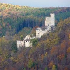
Ruinen Thernberg
2.1 km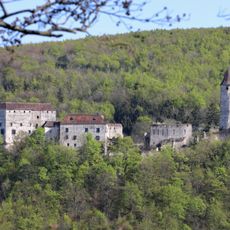
Naturpark Seebenstein
5.2 km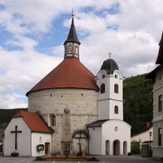
Pfarrkirche Scheiblingkirchen
5.5 km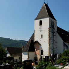
Pfarrkirche St. Lambert, Bromberg, Lower Austria
220 m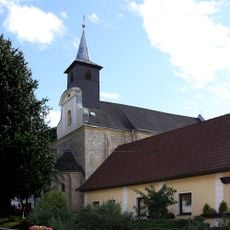
Pfarrkirche Thernberg
2.4 km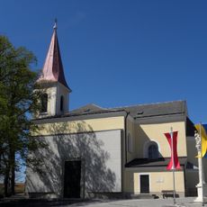
Kath. Pfarrkirche hl. Laurentius
5.5 km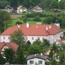
Rectory in Pitten
5.7 km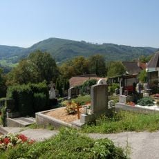
Ehem. Kirchhof/Friedhof
231 m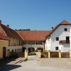
Dominikalhof, Bromberg, Lower Austria
186 m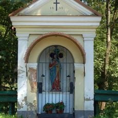
Flur-/Wegkapelle
504 m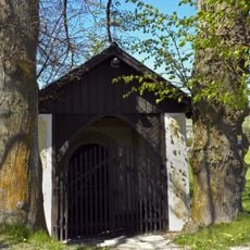
Türkenkapelle
5.6 km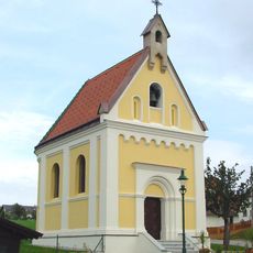
Ortskapelle hl. Johannes d. T.
3.4 km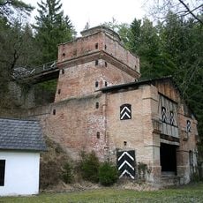
Kalkofen im Leidingbachgraben
4.7 km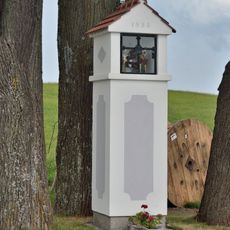
Bildstock Schlag
3.7 km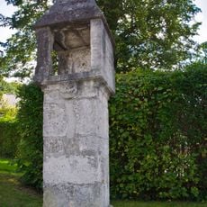
Bildstock
5.8 km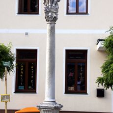
Pest-/Dreifaltigkeitssäule
2.4 km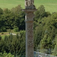
Pestkreuz Bromberg
199 m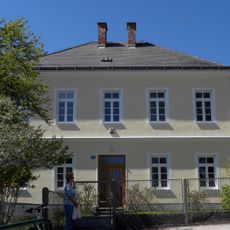
Pfarrhof
5.4 km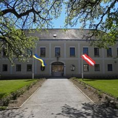
Schloss Hochwolkersdorf
5.4 km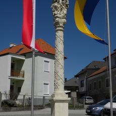
Anna-Selbdritt-Säule, Hochwolkersdorf
5.5 km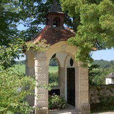
Kriegerdenkmal
209 m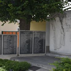
Kriegerdenkmal Hochwolkersdorf
5.5 km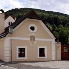
Ehem. Bader- bzw. Mesnerhaus
2.4 km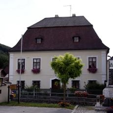
Pfarrhof
2.4 km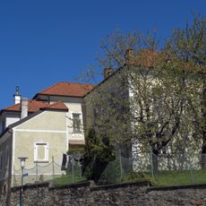
Kaiser-Franz-Joseph-Jubiläumshaus, ehem. Amtsgebäude
5.5 km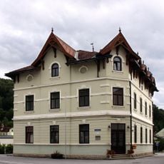
Gemeindeamt
5.5 km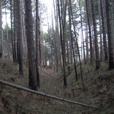
Befestigte Höhensiedlung Schlossberg
5.3 kmReviews
Visited this place? Tap the stars to rate it and share your experience / photos with the community! Try now! You can cancel it anytime.
Discover hidden gems everywhere you go!
From secret cafés to breathtaking viewpoints, skip the crowded tourist spots and find places that match your style. Our app makes it easy with voice search, smart filtering, route optimization, and insider tips from travelers worldwide. Download now for the complete mobile experience.

A unique approach to discovering new places❞
— Le Figaro
All the places worth exploring❞
— France Info
A tailor-made excursion in just a few clicks❞
— 20 Minutes