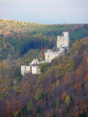
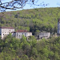
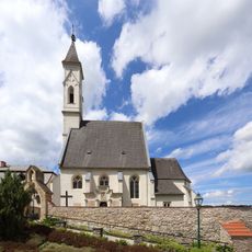
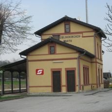
Ruinen Thernberg, Medieval castle ruin in Scheiblingkirchen-Thernberg, Austria.
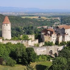
Thernberg Castle ruins are the remains of a fortress on a hilltop surrounded by forest, overlooking the village below. Stone walls and tower foundations are scattered across the site at different elevations, showing the castle's layout and scale.
The castle was first mentioned in 1227 and served as a strategic outpost for various noble families over several centuries. In the early 1800s, the site underwent major changes that transformed its appearance and purpose.
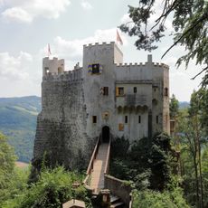
The ruins show how medieval defensive structures were built to control the surrounding territory and protect its inhabitants. Walking through the stone remains gives a sense of the architectural choices that shaped fortress design in this region.
The walk up to the ruins takes about 25 minutes uphill through the forest, starting from a forest road in the village. Parking is available near the trail entrance, and there is no road access to the ruins themselves.
In the early 1800s, someone added exotic plants and artificial waterfalls to the ruins, creating an unusual garden landscape. This surprising mix of medieval stone and landscaped grounds can still be seen in how the terrain is laid out.
The community of curious travelers
AroundUs brings together thousands of curated places, local tips, and hidden gems, enriched daily by 60,000 contributors worldwide.