
Ehem. Salzstadel, Denkmalgeschütztes Objekt in Weißenkirchen in der Wachau (33946)
Location: Weißenkirchen in der Wachau
Address: Weißenkirchen in der Wachau 202
GPS coordinates: 48.39465,15.46989
Latest update: March 6, 2025 05:27
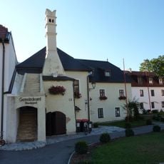
Rathaus
193 m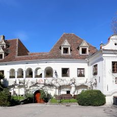
Weißenkirchen Flammhof
214 m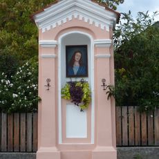
Bildstock
125 m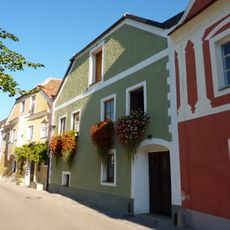
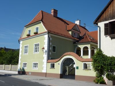
Wohnhaus
159 m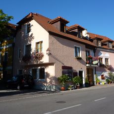
Wohnhaus
132 m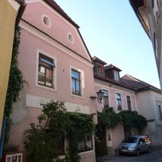
Wohnhaus
236 m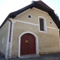
Wirtschaftsgebäude
189 m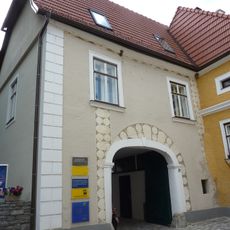
Weißenkirchen in der Wachau 31
211 m
Wohnhaus
160 m
Wohnhaus
142 m
Wohnhaus
175 m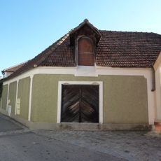
Wohnhaus, Manghof
121 m
Wohnhaus
226 m
Weißenkirchen in der Wachau 47
116 m
Ehem. Gasthaus Zum goldenen Löwen
218 m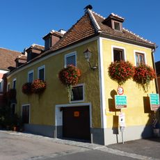
Wohnhaus
154 m
Wohnhaus
131 m
Ehem. Salzstadl
26 m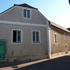
Wohnhaus
172 m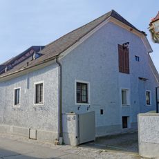
Wohnhaus
132 m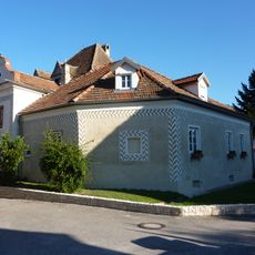
Bürgerhaus
217 m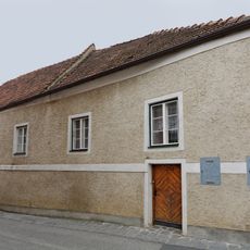
Wohnhaus, ehem. Klosterlesehof
175 m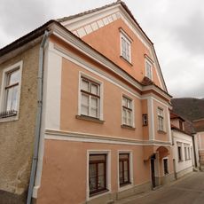
Wohnhaus
188 m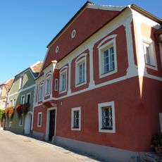
Bürgerhaus
161 m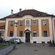
Wohnhaus, Stiftungshaus
193 m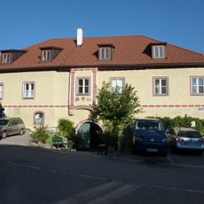
Weißenkirchen Freisingerhof
199 m
Wohnhaus
238 m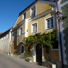
Hauerhaus
169 mReviews
Visited this place? Tap the stars to rate it and share your experience / photos with the community! Try now! You can cancel it anytime.
Discover hidden gems everywhere you go!
From secret cafés to breathtaking viewpoints, skip the crowded tourist spots and find places that match your style. Our app makes it easy with voice search, smart filtering, route optimization, and insider tips from travelers worldwide. Download now for the complete mobile experience.

A unique approach to discovering new places❞
— Le Figaro
All the places worth exploring❞
— France Info
A tailor-made excursion in just a few clicks❞
— 20 Minutes