
Bauernkriegsdenkmal, Denkmal in Alkoven (4167)
Location: Alkoven
Address: südlich Straß 32
GPS coordinates: 48.28744,14.05436
Latest update: May 1, 2025 17:39

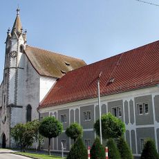
Sankt Maria
3.2 km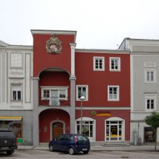
Stadtplatz 14 (Eferding)
3.3 km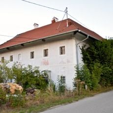
Großstrohmayrgut
1.3 km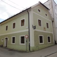
Bürgerhaus
3.2 km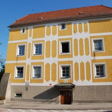
Ehem. Verwaltungsstöckl, Schiferstöckl
3.1 km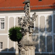
Mariensäule
3.2 km
Stadtplatz 15
3.3 km
Stadtplatz 18
3.3 km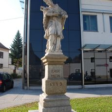
Figurenbildstock hl. Johannes Nepomuk
3.1 km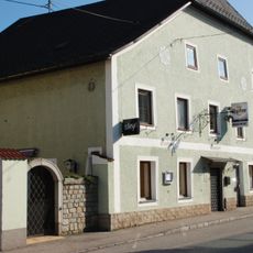
Hiaslwirt, ehem. Gasthaus Zur goldenen Birne
3.1 km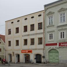
Stadtplatz 17
3.3 km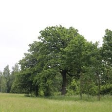
Zwei Eichen bei Raffeldsmühle in Fraham
849 m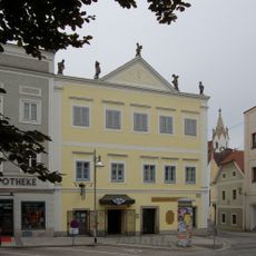
Stadtplatz 16
3.3 km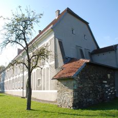
Erbstift
3.2 km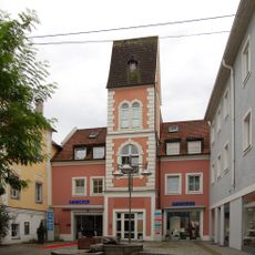
Schmiedstraße 1
3.3 km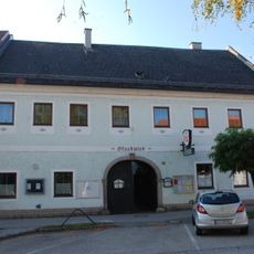
Stuckwirt, ehem. Gasthaus Zur Kanone
3.2 km
Stadtplatz 21
3.3 km
Bürgerhaus
3.2 km
Stadtplatz 13
3.3 km
Großstrohmayrgut, Auszugshäusel
1.2 km
Bürgerhaus
3.1 km
Bürgerhaus, ehem. Schmiede
3.1 km
Bürgerhaus
3.1 km
Bürgerhaus
3.2 km
Stadtplatz 20
3.3 km
Ehem. Benefiziatenhaus
3.1 km
Stadtplatz 19
3.3 km
Stadtplatz 12
3.3 kmReviews
Visited this place? Tap the stars to rate it and share your experience / photos with the community! Try now! You can cancel it anytime.
Discover hidden gems everywhere you go!
From secret cafés to breathtaking viewpoints, skip the crowded tourist spots and find places that match your style. Our app makes it easy with voice search, smart filtering, route optimization, and insider tips from travelers worldwide. Download now for the complete mobile experience.

A unique approach to discovering new places❞
— Le Figaro
All the places worth exploring❞
— France Info
A tailor-made excursion in just a few clicks❞
— 20 Minutes