
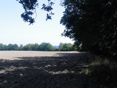
Befestigungsanlage Staning, building in Dietach, Austria
Location: Dietach
Address: Flur Staning
GPS coordinates: 48.09803,14.46328
Latest update: May 4, 2025 16:43
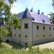
Schloss Vestenthal
3.9 km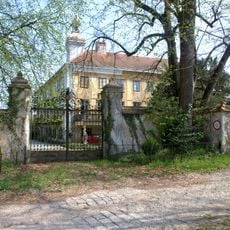
Schlossanlage Dorf an der Enns
1.5 km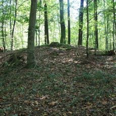
Hügelgräberfeld Winkling
1.8 km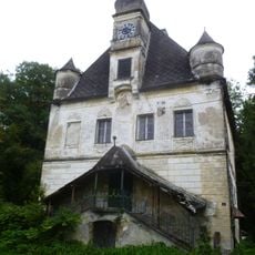
Schloss Ramingdorf
3.6 km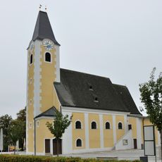
Pfarrkirche Ernsthofen
3.6 km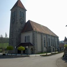
Pfarrkirche Vestenthal
4.7 km
Golfpark Metzenhof
4.1 km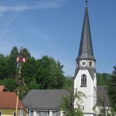
Dietach Parish Church
3.6 km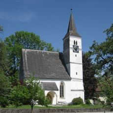
Branch Church Stadlkirchen
2.1 km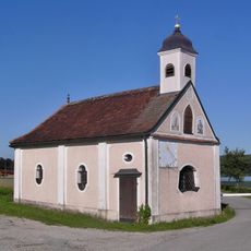
Maria Winkling
1.7 km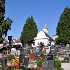
Friedhof christlich
4.7 km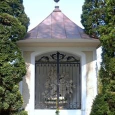
Johannes Nepomuk-Kapelle Dorf an der Enns
1.4 km
Bauern- und Technikmuseum Gallhuberhof
4.8 km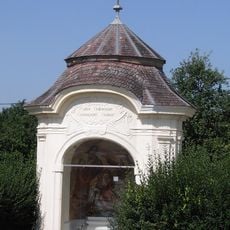
Ehem. Spitalskapelle, Hofmayr-Kapelle
2.9 km
Steyr Herta Schweiger-Straße Werksiedlung
4.8 km
Bauernhof (Anlage), Tierheim
4.8 km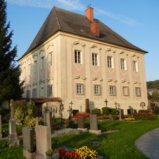
Pfarrhof Haidershofen
2.4 km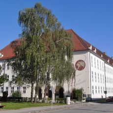
Volks- und Mittelschule Punzerstraße
4.8 km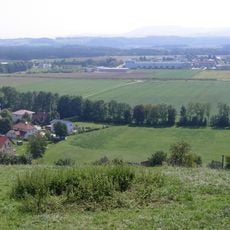
Römische Fundzone Dietach
3.1 km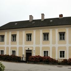
Pfarrhof
3.5 km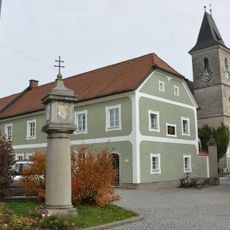
Brucknerplatzsäule Kronstorf
4.9 km
Johannes Nepomuk Vestenthal
4.7 km
Wohnhaus, ehem. Lamberg'sches Spital
2.9 km
The Deulge
4.9 km
Bildstock
4.8 km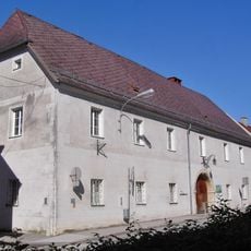
Kindergarten, Haus der Begegnung
4.8 km
Vierkanthof, Gasthaus Rahofer
4.8 km
Star Movie Steyr
3.6 kmVisited this place? Tap the stars to rate it and share your experience / photos with the community! Try now! You can cancel it anytime.
Discover hidden gems everywhere you go!
From secret cafés to breathtaking viewpoints, skip the crowded tourist spots and find places that match your style. Our app makes it easy with voice search, smart filtering, route optimization, and insider tips from travelers worldwide. Download now for the complete mobile experience.

A unique approach to discovering new places❞
— Le Figaro
All the places worth exploring❞
— France Info
A tailor-made excursion in just a few clicks❞
— 20 Minutes