
Kreisgrabenalnlage Gnadendorf, Denkmalgeschütztes Objekt in Gnadendorf (48561)
Location: Gnadendorf
Address: Mitterfeld
GPS coordinates: 48.61549,16.39406
Latest update: March 15, 2025 20:25
Hagenberg Castle
4.5 km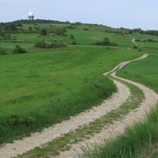
Buschberg
4.3 km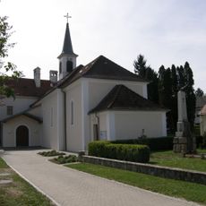
Pyhra Pfarrkirche
3.2 km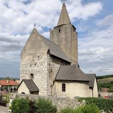
Wehrkirche Michelstetten
4.2 km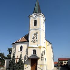
Pfarrkirche Eichenbrunn
2.8 km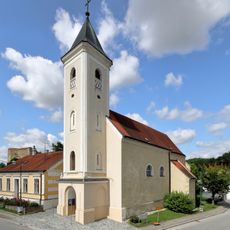
Kirche Wenzersdorf, Gnadendorf
1.6 km
Michelstettner Schule
4.2 km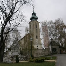
Pfarrkirche Gnadendorf
386 m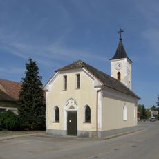
Ortskapelle Röhrabrunn
4.1 km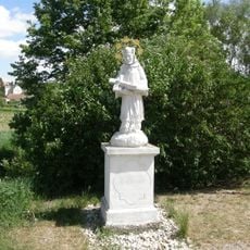
Figurenbildstock hl. Johannes Nepomuk
4.6 km
Schloss Michelstetten
4.4 km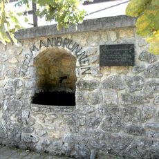
Kolomanibründl Trinkbrunnen
2.8 km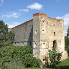
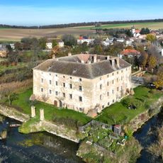
Schlossruine Wenzersdorf
1.5 km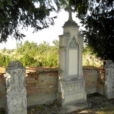
Anheim gefallene Grabdenkmale u.a. Grab Pfitzinger
3 km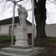
Statue of John of Nepomuk, Gnadendorf
243 m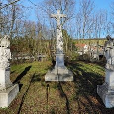
Crucifixion group in Hagenberg
4.9 km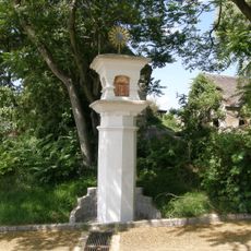
Bildstock
4.6 km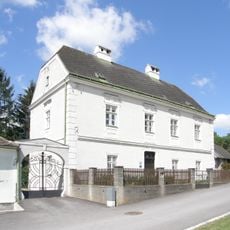
Pfarrhof
4.8 km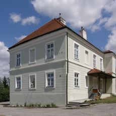
Pfarrhof
4.8 km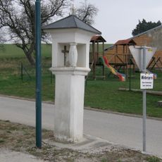
Bildstock
2.5 km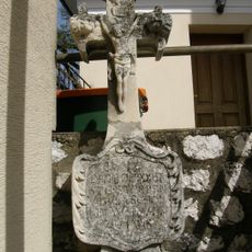
Kleindenkmale Eichenbrunn
2.8 km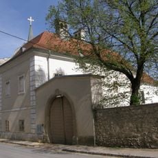
Pyhra Pfarrhof
3.2 km
Pfarrhof
4.2 km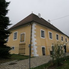
Ehem. Pfarrhof
595 m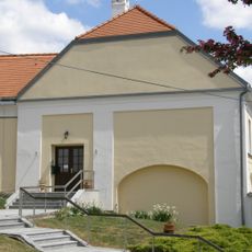
Pfarrhof
4.6 km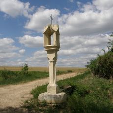
Lichtsäule
3.4 km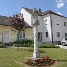
Mariensäule
4.7 km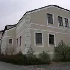
Schule
343 mReviews
Visited this place? Tap the stars to rate it and share your experience / photos with the community! Try now! You can cancel it anytime.
Discover hidden gems everywhere you go!
From secret cafés to breathtaking viewpoints, skip the crowded tourist spots and find places that match your style. Our app makes it easy with voice search, smart filtering, route optimization, and insider tips from travelers worldwide. Download now for the complete mobile experience.

A unique approach to discovering new places❞
— Le Figaro
All the places worth exploring❞
— France Info
A tailor-made excursion in just a few clicks❞
— 20 Minutes