
Ehem. Bürgerspital, building in Krems an der Donau, Austria
Location: Krems
Address: Obere Landstraße 5
GPS coordinates: 48.41076,15.59965
Latest update: April 4, 2025 11:58
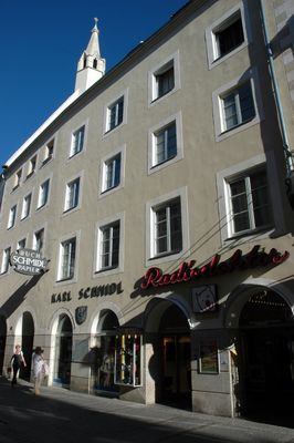

Bürgerspitalkirche
27 m
Göglhaus
80 m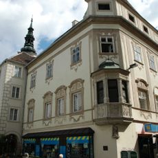
Rathaus Krems an der Donau
53 m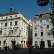
Bürgerhaus, Mohrenapotheke
79 m
Bürgerhaus
92 m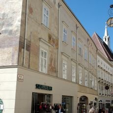
Göglhaus
62 m
Ehem. Schlüsselamt
95 m
Bürgerhaus
38 m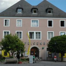
Ehem. Burg König Ottokars
99 m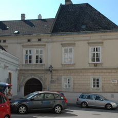
Straubenhof, Chiemseer Hof
60 m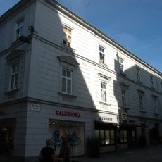
Bürgerhaus
46 m
Bürgerhaus
101 m
Bürgerhaus
81 m
Bürgerhaus
44 m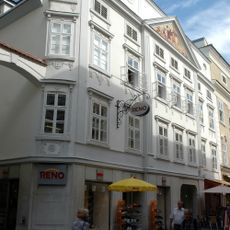
Bürgerhaus
67 m
Bürgerhaus
72 m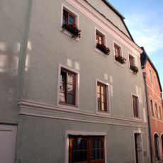
Bürgerhaus
86 m
Bürgerhaus
99 m
Bürgerhaus
94 m
Bürgerhaus
77 m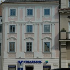
Bürgerhaus
94 m
Bürgerhaus, Fellnerhof, Merklehaus
90 m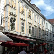
Bürgerhaus
39 m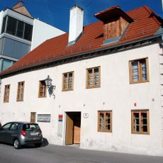
Wohnhaus
60 m
Bürgerhaus
32 m
Bürgerhaus, Kleeweinhof; Adlerapotheke
36 m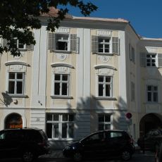
Bürgerhaus
89 m
Bürgerhaus
44 mVisited this place? Tap the stars to rate it and share your experience / photos with the community! Try now! You can cancel it anytime.
Discover hidden gems everywhere you go!
From secret cafés to breathtaking viewpoints, skip the crowded tourist spots and find places that match your style. Our app makes it easy with voice search, smart filtering, route optimization, and insider tips from travelers worldwide. Download now for the complete mobile experience.

A unique approach to discovering new places❞
— Le Figaro
All the places worth exploring❞
— France Info
A tailor-made excursion in just a few clicks❞
— 20 Minutes