
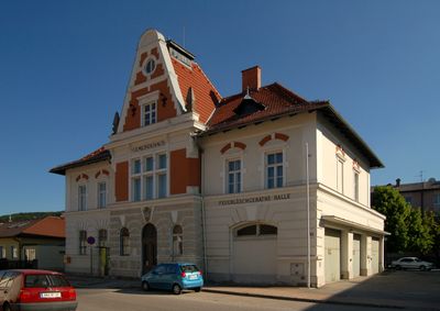
Gemeindehaus und Feuerlöschgerätehalle, building in Berndorf, Lower Austria, Austria
Location: Berndorf
Address: Hauptstraße 53
GPS coordinates: 47.93788,16.15038
Latest update: April 3, 2025 01:11
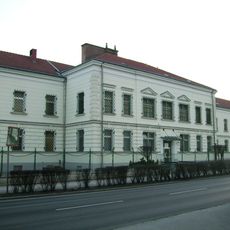
Hirtenberg penitentiary
2.3 km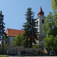
Pfarrkirche hl. Margareta, Enzesfeld
2.8 km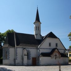
Bürgerspitalskirche Enzesfeld
3 km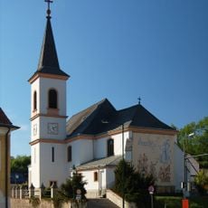
Pfarrkirche St. Veit an der Triesting
403 m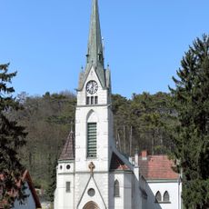
Pfarrkirche Hirtenberg
2 km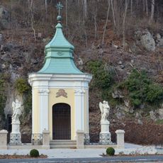
Niederfelder Marienkapelle
2.5 km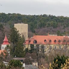
Schloss Enzesfeld
2.7 km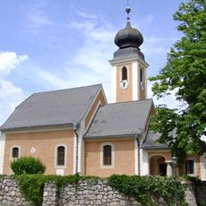
Kath. Filialkirche hl. Katharina
2.4 km
Villa Klostermann, Berndorf
2.8 km
Bruckerkapelle
2 km
Villa Ohmann
2.1 km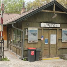
Aufnahmsgebäude Bahnhof St. Veit an der Triesting
521 m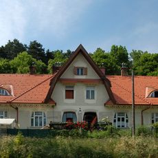
Doppelwohnhaus in Berndorf
2.2 km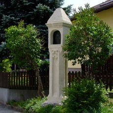
Bildstock
2.3 km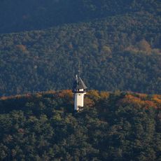
Franz-Bichler-Warte
2.8 km
Hochwasserturm in St. Veit an der Triesting
784 m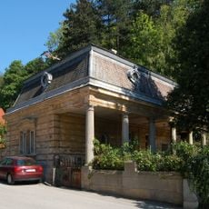
Wohnhaus, Portierhaus der Kruppvilla „Am Brand“
3 km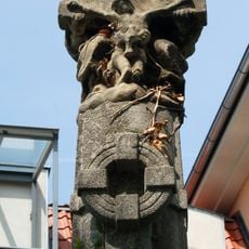
Gnadenstuhl
662 m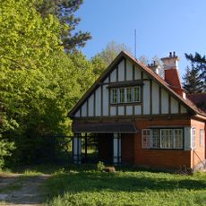
Wohnhaus, Portierhaus der Krupp-Villa „Am Brand“
2.6 km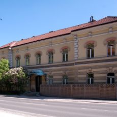
Wohnhaus, ehem. Postgebäude
2.7 km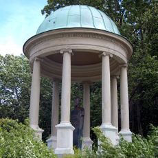
Hermann-Krupp-Denkmal
3.1 km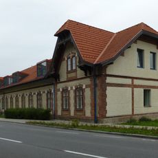
Former office building of Messingblech- und Drahtfabrik Cornides, Berndorf
1.3 km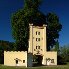
Wasserturm des Neuhirtenberger Kupferhammers
576 m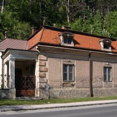
Wohnhaus, Portierhaus der Kruppvilla „Am Brand“
2.7 km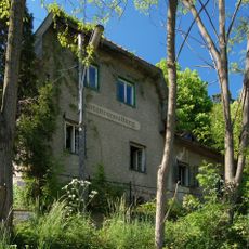
Wohnhaus, ehem. Kruppsche Gartenverwaltung
2.2 km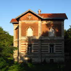
Manor Cornides
1.5 km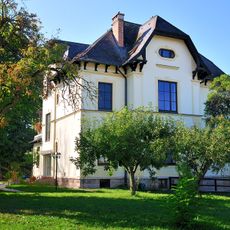
Villa, ehem. Forsthaus
2.3 km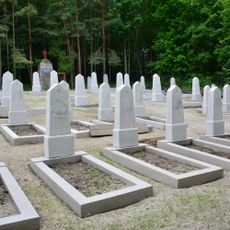
Sowjetischer Militärfriedhof Berndorf
2.6 kmVisited this place? Tap the stars to rate it and share your experience / photos with the community! Try now! You can cancel it anytime.
Discover hidden gems everywhere you go!
From secret cafés to breathtaking viewpoints, skip the crowded tourist spots and find places that match your style. Our app makes it easy with voice search, smart filtering, route optimization, and insider tips from travelers worldwide. Download now for the complete mobile experience.

A unique approach to discovering new places❞
— Le Figaro
All the places worth exploring❞
— France Info
A tailor-made excursion in just a few clicks❞
— 20 Minutes