
Römische Siedlung Pertlstein, Denkmalgeschütztes Objekt in Fehring (70411)
Location: Fehring
Address: Pertlstein
GPS coordinates: 46.94096,15.96795
Latest update: April 11, 2025 06:21
Hainfeld Castle
3.1 km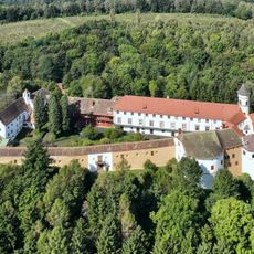
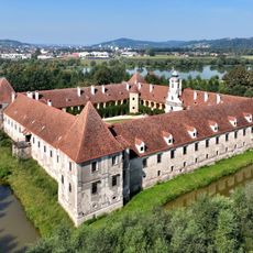
Schloss Bertholdstein
1.4 km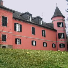
Schloss Stein
2.6 km
Johnsdorf Castle
2.2 km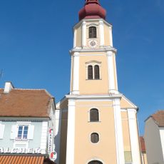
Pfarrkirche Fehring
3.3 km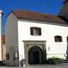
Tabor Fehring
3.3 km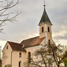
Kath. Filialkirche Herz Jesu
2.3 km
Annakapelle
3.6 km
Ortskapelle
2.6 km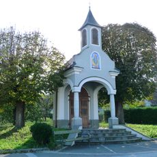
Wegkapelle
2.3 km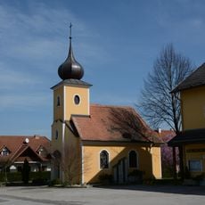
Ortskapelle
2.7 km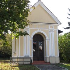
Sinzinger-Kapelle
3.4 km
Roundhouse with turntable
3.4 km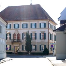
Rathaus
3.2 km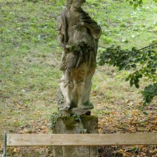
Figur hl. Donatus
1.5 km
Bastion des Fehringer Tabors
3.3 km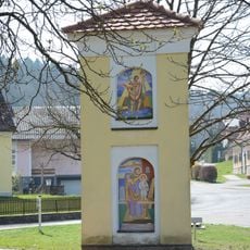
Bildstock
2.7 km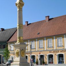
Mariensäule, Fehring
3.3 km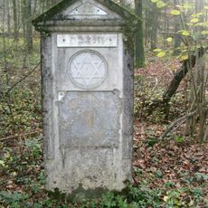
Jüdische Grabsteine Steinberg
4.1 km
Weinkeller
3.6 km
Westliches Hügelgraberfeld am Steinberg, Feldbach
3.8 km
Turmburg Hainfeld
3.2 km
Pfarrhof Fehring
3.2 km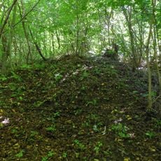
Hügelgräberfeld Steinberg
3.7 km
Epitaph, Grabmal der Pfarrer von Fehring
3.7 km
Figur hl. Leonhard
1.5 km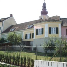
Bastion des Fehringer Tabors
3.3 km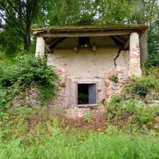
Eiskeller Hainfeld
3.2 kmReviews
Visited this place? Tap the stars to rate it and share your experience / photos with the community! Try now! You can cancel it anytime.
Discover hidden gems everywhere you go!
From secret cafés to breathtaking viewpoints, skip the crowded tourist spots and find places that match your style. Our app makes it easy with voice search, smart filtering, route optimization, and insider tips from travelers worldwide. Download now for the complete mobile experience.

A unique approach to discovering new places❞
— Le Figaro
All the places worth exploring❞
— France Info
A tailor-made excursion in just a few clicks❞
— 20 Minutes