
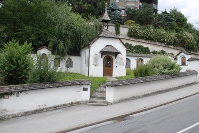
Pestfriedhof, cemetery in Innsbruck, Austria
Location: Innsbruck
Address: gegenüber Höhenstraße 2a
GPS coordinates: 47.27318,11.38867
Latest update: April 1, 2025 04:36
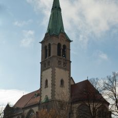
Pfarrkirche Hötting
215 m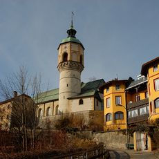
Alte Höttinger Pfarrkirche
327 m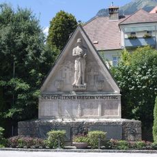
Kriegerdenkmal Hötting
248 m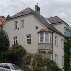
Widum der Neuen Höttinger Pfarrkirche
241 m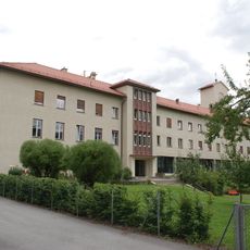
Priesterseminar, Innsbruck
122 m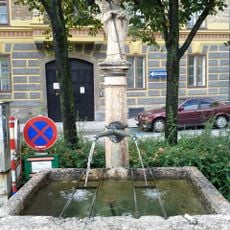
Brunnen in der Innstraße (Hans-Brenner-Platz)
299 m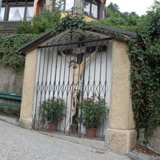
Bildstock mit Kreuz
293 m
Innstraße 4
331 m
Bürgerhaus
185 m
Innstraße 57
308 m
Innstraße 47
331 m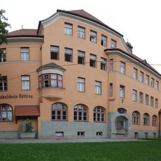
Volksschule Hötting
250 m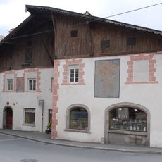
Schneeburggasse 13
323 m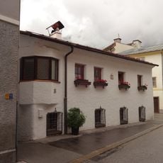
St.-Nikolaus-Gasse 17
280 m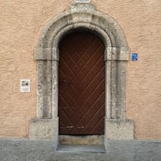
Bürgerhaus, Steinportal
329 m
Bürgerhaus
259 m
Stamserwirt, Innsbruck
282 m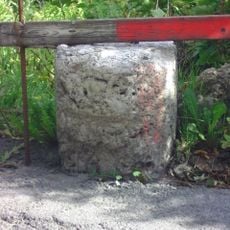
Grenzstein Innsbruck-Hötting
228 m
Bürgerhaus
321 m
Innstraße 51
322 m
Innstraße 81
321 m
Innstraße 77
297 m
Innstraße 63
293 m
Innstraße 61
298 m
Innstraße 59
303 m
Innstraße 55
312 m
Innstraße 49
326 m
Bäckerhaus
268 mVisited this place? Tap the stars to rate it and share your experience / photos with the community! Try now! You can cancel it anytime.
Discover hidden gems everywhere you go!
From secret cafés to breathtaking viewpoints, skip the crowded tourist spots and find places that match your style. Our app makes it easy with voice search, smart filtering, route optimization, and insider tips from travelers worldwide. Download now for the complete mobile experience.

A unique approach to discovering new places❞
— Le Figaro
All the places worth exploring❞
— France Info
A tailor-made excursion in just a few clicks❞
— 20 Minutes