
Straßenbrücke, Radlstegbrücke, bridge in Austria
Location: Wolfsberg
Address: Kollnitzergasse
GPS coordinates: 46.83855,14.84336
Latest update: April 3, 2025 20:02

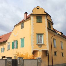
Schloss Bayerhofen
162 m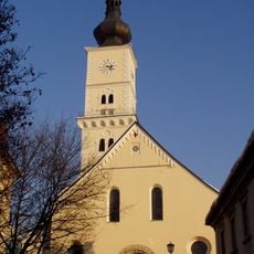
Pfarrkirche Wolfsberg
118 m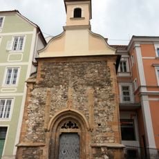
Bäckerkapelle Wolfsberg
128 m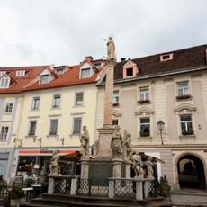
Mariensäule Wolfsberg
96 m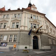
Rathaus
26 m
Ehem. Minoritenkloster
218 m
Straßenbrücke, Fleischbrücke
165 m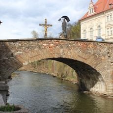
Fleischbrücke Wolfsberg
167 m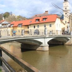
Radlstegbrücke Wolfsberg
8 m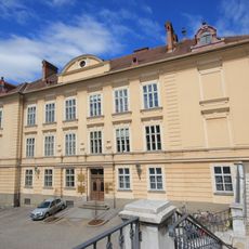
Schule, Kultur- und Vereinshaus
81 m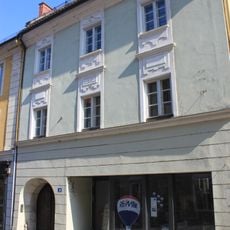
Wolfsberg, Hoher Platz 3
157 m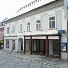
Wolfsberg, Johann-Offner-Straße 10
157 m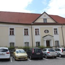
Pfarrhof, Dechantei
113 m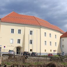
Bezirksgericht
38 m
Ansitz, Paurisches Haus
206 m
Wolfsberg, Getreidemarkt 8
234 m
Wolfsberg, Johann-Offner-Straße 3
188 m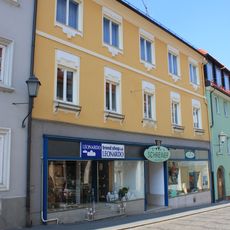
Wolfsberg, Hoher Platz 14
127 m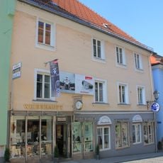
Wolfsberg, Hoher Platz 10
126 m
Wohnhaus, ehem. Feuerwehrgebäude
216 m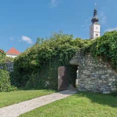
City walls of Wolfsberg
100 m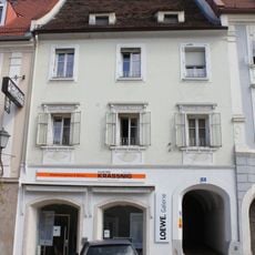
Bürgerhaus
162 m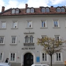
Alte Post, Wolfsberg
136 m
Bürgerhaus, Wohnhaus
168 m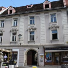
Bürgerhaus
185 m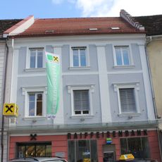
Bürgerhaus, Wohn- und Geschäftshaus
177 m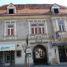
Wolfsberg, Johann-Offner-Straße 7, 9, 9a
214 m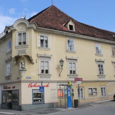
Wolfsberg, Hoher Platz 21
176 mReviews
Visited this place? Tap the stars to rate it and share your experience / photos with the community! Try now! You can cancel it anytime.
Discover hidden gems everywhere you go!
From secret cafés to breathtaking viewpoints, skip the crowded tourist spots and find places that match your style. Our app makes it easy with voice search, smart filtering, route optimization, and insider tips from travelers worldwide. Download now for the complete mobile experience.

A unique approach to discovering new places❞
— Le Figaro
All the places worth exploring❞
— France Info
A tailor-made excursion in just a few clicks❞
— 20 Minutes